Chulakkurgan night lights from space
Night Light of Chulakkurgan (South Kazakhstan) from space (Kazakhstan) Src. Average luminocity for 10x10km area is 0.2% and for 50x50km: 0.0081%.
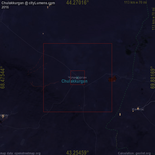
Analysis of Chulakkurgan night lights 2016
Square area 10x10 km:
 0%
0%90-99
0%80-89
0%70-79
0%60-69
0%50-59
0%40-49
0%30-39
0.45%20-29
0.15%10-19
0%0-9
99.39%Square area 50x50 km:
0%90-99
0%80-89
0%70-79
0%60-69
0%50-59
0%40-49
0%30-39
0.02%20-29
0.01%10-19
0%0-9
99.98%Clear (daylight) street map image can be seen on geolist.org.
Map coordinates:
44° 16' 12.6" North, 68° 28' 31.6" East
43° 45' 52.3" North, 69° 10' 42.8" East
43° 15' 16.5" North, 69° 52' 54.1" East
Some cities around Chulakkurgan sort by population:
• Turkestan
91 km =56.5 mi,  235°
235°
• Kentau
60.8 km =37.8 mi, 243°
• Karatau
122.7 km =76.2 mi,  122°
122°
• Zhangatas
50 km =31.1 mi, 116°
• Temirlanovka
129.6 km =80.5 mi,  177°
177°
• Kantagi
54.7 km =34 mi, 241°
• Chayan
82.9 km =51.5 mi,  168°
168°
• Ashchysay
32.5 km =20.2 mi,  223°
223°
1524703 (p: 10,836)
Sources (retrieved 2019-11-25):
» Earth at Night: Flat Maps 2012, 2016