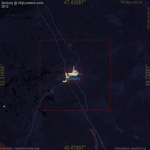
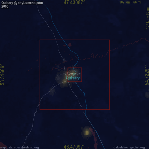
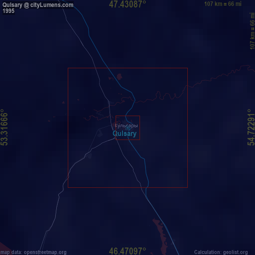
Qulsary night lights from space
Night Light of Qulsary (Atyraū) from space (Kazakhstan) Src. Average luminocity for 10x10km area is 19.4929% and for 50x50km: 1.1171%.

Analysis of Qulsary night lights 2016
Square area 10x10 km:
 0.14%
0.14%90-99
1.56%80-89
1.85%70-79
3.13%60-69
6.53%50-59
4.4%40-49
2.84%30-39
2.84%20-29
1.7%10-19
16.19%0-9
58.81%Square area 50x50 km:
0.01%90-99
0.11%80-89
0.08%70-79
0.15%60-69
0.32%50-59
0.26%40-49
0.15%30-39
0.17%20-29
0.22%10-19
0.68%0-9
97.86%Clear (daylight) street map image can be seen on geolist.org.
Map coordinates:
47° 25' 51.1" North, 53° 18' 60" East
46° 57' 11.1" North, 54° 1' 11.2" East
46° 28' 15.5" North, 54° 43' 22.5" East
Some cities around Qulsary sort by population:
• Atyrau
162.9 km =101.2 mi,  276°
276°
• Balykshi
163.7 km =101.7 mi,  274°
274°
• Beyneu
203.4 km =126.4 mi,  153°
153°
• Maqat
93.9 km =58.3 mi,  325°
325°
• Dossor
101.1 km =62.8 mi,  309°
309°
• Makhambet
200.1 km =124.3 mi,  293°
293°
• Qaraton
70.5 km =43.8 mi,  215°
215°
• Miyaly
215.5 km =133.9 mi,  355°
355°
609123 (p: 51,216)
Sources (retrieved 2019-11-25):
» NASA, Earths city lights 1995
» NASA city lights 2003
» Earth at Night: Flat Maps 2012, 2016