Moyynkum night lights from space
Night Light of Moyynkum (Zhambyl) from space (Kazakhstan) Src. Average luminocity for 10x10km area is 0.2758% and for 50x50km: 0.0112%.
Analysis of Moyynkum night lights 2016
Square area 10x10 km:
 0%
0%90-99
0%80-89
0%70-79
0%60-69
0%50-59
0%40-49
0.61%30-39
0%20-29
0%10-19
0%0-9
99.39%Square area 50x50 km:
0%90-99
0%80-89
0%70-79
0%60-69
0%50-59
0%40-49
0.02%30-39
0%20-29
0%10-19
0%0-9
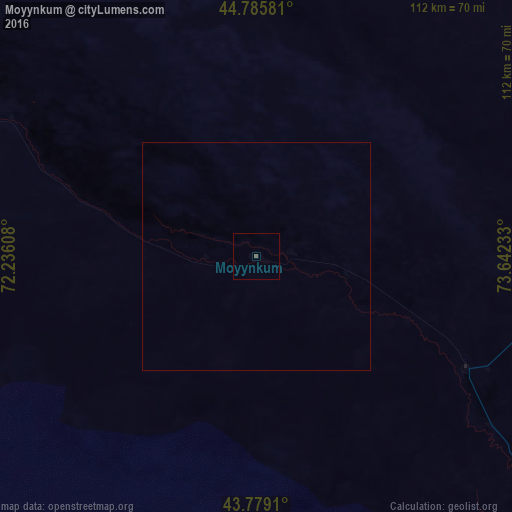
99.98%Clear (daylight) street map image can be seen on geolist.org.
Map coordinates:
44° 47' 8.9" North, 72° 14' 9.9" East
44° 17' 4.6" North, 72° 56' 21.1" East
43° 46' 44.8" North, 73° 38' 32.4" East
Some cities around Moyynkum sort by population:
• Kara-Balta, KG
179.1 km =111.3 mi,  155°
155°
• Chu
100.2 km =62.3 mi,  139°
139°
• Merke
158.6 km =98.5 mi,  172°
172°
• Sarykemer
183.9 km =114.3 mi,  219°
219°
• Lugovoye
153.8 km =95.6 mi,  186°
186°
• Kaindy, KG
172.8 km =107.4 mi, 159°
• Lugovoy
150 km =93.2 mi, 185°
• Oytal
155.6 km =96.7 mi, 170°
1524265 (p: 10,923)
Sources (retrieved 2019-11-25):
» Earth at Night: Flat Maps 2012, 2016