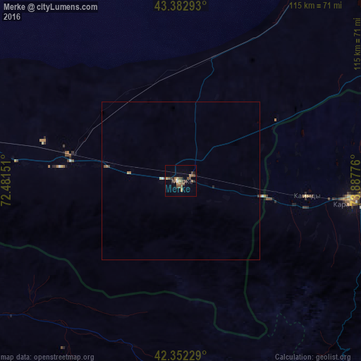
Merke night lights from space
Night Light of Merke (Zhambyl) from space (Kazakhstan) Src. Average luminocity for 10x10km area is 14.219% and for 50x50km: 0.7489%.
Analysis of Merke night lights 2016
Square area 10x10 km:
 0.32%
0.32%90-99
0.32%80-89
1.27%70-79
2.22%60-69
1.9%50-59
6.19%40-49
4.92%30-39
1.59%20-29
1.75%10-19
0.79%0-9
78.73%Square area 50x50 km:
0.02%90-99
0.03%80-89
0.08%70-79
0.11%60-69
0.13%50-59
0.26%40-49
0.25%30-39
0.08%20-29
0.09%10-19
0.03%0-9
98.91%Clear (daylight) street map image can be seen on geolist.org.
Map coordinates:
43° 22' 58.5" North, 72° 28' 53.4" East
42° 52' 11.1" North, 73° 11' 4.7" East
42° 21' 8.2" North, 73° 53' 15.9" East
Some cities around Merke sort by population:
• Kara-Balta, KG
54.4 km =33.8 mi,  96°
96°
• Chu
93.9 km =58.3 mi,  29°
29°
• Talas, KG
86.1 km =53.5 mi,  243°
243°
• Lugovoye
38.1 km =23.7 mi,  276°
276°
• Kaindy, KG
40.4 km =25.1 mi, 97°
• Lugovoy
35.4 km =22 mi, 283°
• Oytal
8 km =5 mi,  60°
60°
• Sosnovka, KG
63.6 km =39.5 mi,  114°
114°
1520969 (p: 15,934)
Sources (retrieved 2019-11-25):
» Earth at Night: Flat Maps 2012, 2016