Chu night lights from space
Night Light of Chu (Zhambyl) from space (Kazakhstan) Src. Average luminocity for 10x10km area is 8.9909% and for 50x50km: 0.4196%.
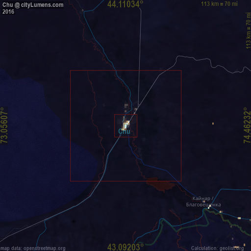
Analysis of Chu night lights 2016
Square area 10x10 km:
 0.76%
0.76%90-99
1.67%80-89
0.61%70-79
1.21%60-69
1.82%50-59
0.15%40-49
1.67%30-39
1.82%20-29
1.82%10-19
1.52%0-9
86.97%Square area 50x50 km:
0.03%90-99
0.07%80-89
0.02%70-79
0.05%60-69
0.07%50-59
0.01%40-49
0.07%30-39
0.07%20-29
0.2%10-19
0.11%0-9
99.3%Clear (daylight) street map image can be seen on geolist.org.
Map coordinates:
44° 6' 37.2" North, 73° 3' 21.9" East
43° 36' 12" North, 73° 45' 33.1" East
43° 5' 31.3" North, 74° 27' 44.4" East
Some cities around Chu sort by population:
• Bishkek, KG
105.7 km =65.7 mi,  140°
140°
• Kara-Balta, KG
88 km =54.7 mi,  175°
175°
• Merke
93.9 km =58.3 mi,  209°
209°
• Moyynkum
100.2 km =62.3 mi,  319°
319°
• Kaindy, KG
86.8 km =53.9 mi, 184°
• Georgiyevka
99.5 km =61.8 mi,  129°
129°
• Oytal
87.1 km =54.1 mi, 207°
• Sosnovka, KG
108 km =67.1 mi,  174°
174°
1519030 (p: 39,785)
Sources (retrieved 2019-11-25):
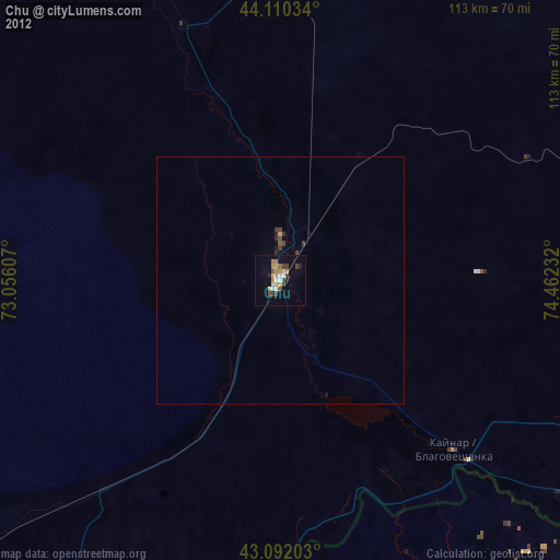
» Earth at Night: Flat Maps 2012, 2016