Lugovoye night lights from space
Night Light of Lugovoye (Zhambyl) from space (Kazakhstan) Src. Average luminocity for 10x10km area is 7.2254% and for 50x50km: 0.5373%.
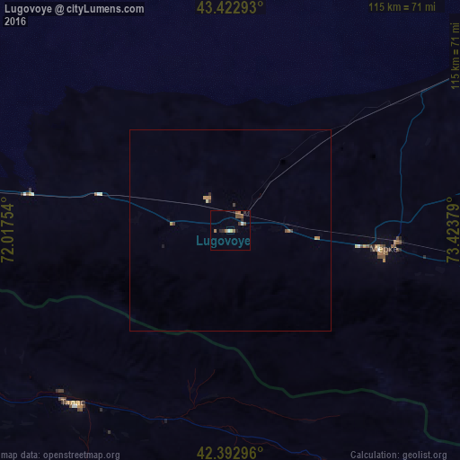
Analysis of Lugovoye night lights 2016
Square area 10x10 km:
 1.11%
1.11%90-99
0.16%80-89
0.63%70-79
0%60-69
1.9%50-59
2.7%40-49
1.59%30-39
0.95%20-29
1.75%10-19
1.27%0-9
87.94%Square area 50x50 km:
0.04%90-99
0.01%80-89
0.07%70-79
0.05%60-69
0.18%50-59
0.12%40-49
0.13%30-39
0.09%20-29
0.09%10-19
0.08%0-9
99.14%Clear (daylight) street map image can be seen on geolist.org.
Map coordinates:
43° 25' 22.5" North, 72° 1' 3.1" East
42° 54' 36.4" North, 72° 43' 14.4" East
42° 23' 34.7" North, 73° 25' 25.6" East
Some cities around Lugovoye sort by population:
• Taraz
110.3 km =68.5 mi,  269°
269°
• Kara-Balta, KG
92.5 km =57.5 mi,  96°
96°
• Talas, KG
58.1 km =36.1 mi,  222°
222°
• Merke
38.1 km =23.7 mi, 96°
• Sarykemer
99.8 km =62 mi,  275°
275°
• Kaindy, KG
78.4 km =48.7 mi, 96°
• Oytal
44.7 km =27.8 mi,  90°
90°
• Sosnovka, KG
100.6 km =62.5 mi,  107°
107°
1521292 (p: 13,128)
Sources (retrieved 2019-11-25):
» Earth at Night: Flat Maps 2012, 2016