Kara-Balta night lights from space
Night Light of Kara-Balta (Chüy) from space (Kyrgyzstan) Src. Average luminocity for 10x10km area is 18.6621% and for 50x50km: 1.6792%.
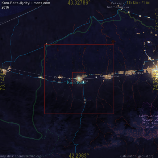
Analysis of Kara-Balta night lights 2016
Square area 10x10 km:
 0.45%
0.45%90-99
0.76%80-89
3.03%70-79
1.97%60-69
3.94%50-59
5%40-49
3.03%30-39
4.85%20-29
4.85%10-19
9.09%0-9
63.03%Square area 50x50 km:
0.03%90-99
0.04%80-89
0.15%70-79
0.16%60-69
0.28%50-59
0.43%40-49
0.49%30-39
0.48%20-29
0.66%10-19
0.55%0-9
96.73%Clear (daylight) street map image can be seen on geolist.org.
Map coordinates:
43° 19' 40.3" North, 73° 8' 42" East
42° 48' 51.2" North, 73° 50' 53.3" East
42° 17' 46.7" North, 74° 33' 4.5" East
Some cities around Kara-Balta sort by population:
• Bishkek
60.8 km =37.8 mi,  84°
84°
• Chu, KZ
88 km =54.7 mi,  355°
355°
• Kant
82.2 km =51.1 mi, 84°
• Merke, KZ
54.4 km =33.8 mi,  276°
276°
• Kaindy
14.1 km =8.8 mi,  274°
274°
• Georgiyevka, KZ
74.7 km =46.4 mi,  70°
70°
• Oytal, KZ
48.2 km =30 mi, 282°
• Sosnovka
20.1 km =12.5 mi,  168°
168°
1528182 (p: 62,796)
Sources (retrieved 2019-11-25):
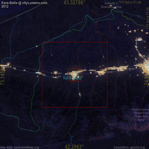
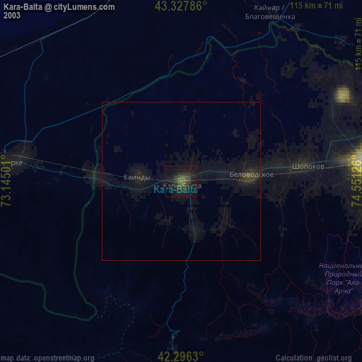
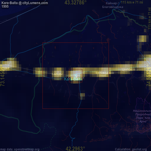
» NASA, Earths city lights 1995
» NASA city lights 2003
» Earth at Night: Flat Maps 2012, 2016