Inderbor night lights from space
Night Light of Inderbor (Atyraū) from space (Kazakhstan) Src. Average luminocity for 10x10km area is 7.9509% and for 50x50km: 0.3501%.
Analysis of Inderbor night lights 2016
Square area 10x10 km:
 0.89%
0.89%90-99
1.49%80-89
1.34%70-79
1.04%60-69
1.79%50-59
1.19%40-49
0%30-39
1.04%20-29
0.15%10-19
0%0-9
91.07%Square area 50x50 km:
0.03%90-99
0.06%80-89
0.05%70-79
0.04%60-69
0.07%50-59
0.05%40-49
0.02%30-39
0.07%20-29
0.02%10-19
0%0-9
99.59%Clear (daylight) street map image can be seen on geolist.org.
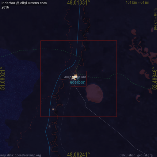
Map coordinates:
49° 0' 47.9" North, 51° 4' 48.8" East
48° 33' 0" North, 51° 46' 60" East
48° 4' 56.7" North, 52° 29' 11.3" East
Some cities around Inderbor sort by population:
• Atyrau
159.5 km =99.1 mi,  177°
177°
• Balykshi
165 km =102.5 mi, 177°
• Maqat
151.6 km =94.2 mi,  131°
131°
• Dossor
144.4 km =89.7 mi,  141°
141°
• Makhambet
99.3 km =61.7 mi,  188°
188°
• Miyaly
152 km =94.4 mi,  75°
75°
• Chapaev
188.8 km =117.3 mi,  346°
346°
• Dzhangala
129.4 km =80.4 mi,  304°
304°
609798 (p: 13,254)
Sources (retrieved 2019-11-25):
» Earth at Night: Flat Maps 2012, 2016