Dzhambeyty night lights from space
Night Light of Dzhambeyty (Batys Qazaqstan) from space (Kazakhstan) Src. Average luminocity for 10x10km area is 0% and for 50x50km: 0%.
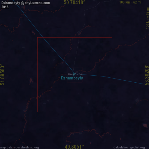
Analysis of Dzhambeyty night lights 2016
Square area 10x10 km:
 0%
0%90-99
0%80-89
0%70-79
0%60-69
0%50-59
0%40-49
0%30-39
0%20-29
0%10-19
0%0-9
100%Square area 50x50 km:
0%90-99
0%80-89
0%70-79
0%60-69
0%50-59
0%40-49
0%30-39
0%20-29
0%10-19
0%0-9
100%Clear (daylight) street map image can be seen on geolist.org.
Map coordinates:
50° 42' 15" North, 51° 53' 45" East
50° 15' 24.3" North, 52° 35' 56.2" East
49° 48' 18.4" North, 53° 18' 7.5" East
Some cities around Dzhambeyty sort by population:
• Oral
138.9 km =86.3 mi,  321°
321°
• Aqsay
105.2 km =65.4 mi,  15°
15°
• Ilek, RU
151.6 km =94.2 mi, 21°
• Tashla, RU
168.7 km =104.8 mi,  3°
3°
• Chingirlau
140.4 km =87.2 mi,  48°
48°
• Miyaly
175.1 km =108.8 mi,  150°
150°
• Chapaev
102.1 km =63.4 mi,  266°
266°
• Fedorovka
116.3 km =72.3 mi,  337°
337°
609977 (p: 6,262)
Sources (retrieved 2019-11-25):
» Earth at Night: Flat Maps 2012, 2016