Talas night lights from space
Night Light of Talas from space (Kyrgyzstan) Src. Average luminocity for 10x10km area is 10.1746% and for 50x50km: 0.4536%.
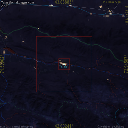
Analysis of Talas night lights 2016
Square area 10x10 km:
 0.79%
0.79%90-99
0.48%80-89
0.95%70-79
2.22%60-69
1.27%50-59
1.11%40-49
3.97%30-39
2.54%20-29
1.27%10-19
0%0-9
85.4%Square area 50x50 km:
0.03%90-99
0.02%80-89
0.04%70-79
0.09%60-69
0.05%50-59
0.04%40-49
0.16%30-39
0.13%20-29
0.13%10-19
0.03%0-9
99.28%Clear (daylight) street map image can be seen on geolist.org.
Map coordinates:
43° 2' 19.8" North, 71° 32' 22.6" East
42° 31' 22" North, 72° 14' 33.9" East
42° 0' 8.7" North, 72° 56' 45.1" East
Some cities around Talas sort by population:
• Taraz, KZ
83 km =51.6 mi,  300°
300°
• Toktogul
92.3 km =57.4 mi,  141°
141°
• Merke, KZ
86.1 km =53.5 mi,  63°
63°
• Sarykemer, KZ
80.6 km =50.1 mi,  311°
311°
• Kerben
121.2 km =75.3 mi,  199°
199°
• Lugovoye, KZ
58.1 km =36.1 mi,  42°
42°
• Lugovoy, KZ
63 km =39.1 mi, 42°
• Oytal, KZ
94.1 km =58.5 mi, 63°
1527299 (p: 35,172)
Sources (retrieved 2019-11-25):
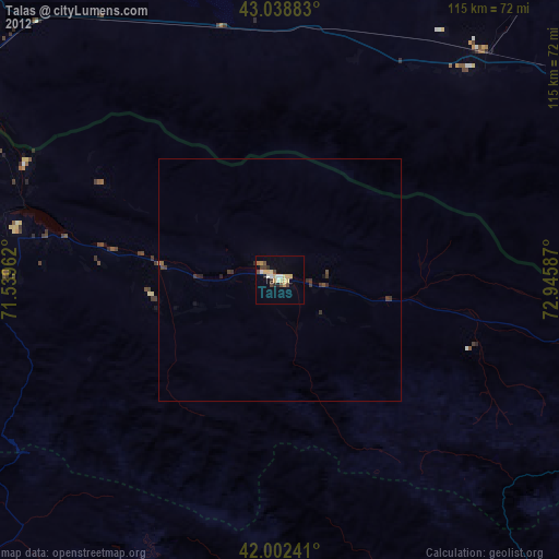
» Earth at Night: Flat Maps 2012, 2016