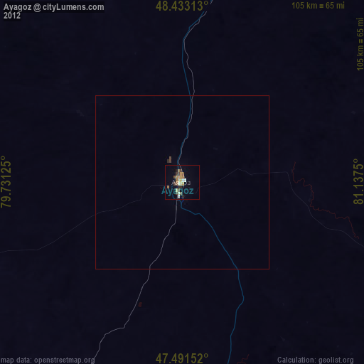
Ayagoz night lights from space
Night Light of Ayagoz (East Kazakhstan) from space (Kazakhstan) Src. Average luminocity for 10x10km area is 6.4645% and for 50x50km: 0.2656%.
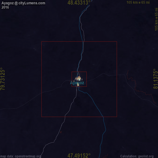
Analysis of Ayagoz night lights 2016
Square area 10x10 km:
 0.43%
0.43%90-99
0.14%80-89
0%70-79
0.71%60-69
1.7%50-59
2.56%40-49
1.14%30-39
1.99%20-29
1.56%10-19
1.7%0-9
88.07%Square area 50x50 km:
0.02%90-99
0.01%80-89
0%70-79
0.03%60-69
0.07%50-59
0.1%40-49
0.05%30-39
0.08%20-29
0.06%10-19
0.07%0-9
99.52%Clear (daylight) street map image can be seen on geolist.org.
Map coordinates:
48° 25' 59.3" North, 79° 43' 52.5" East
47° 57' 52.1" North, 80° 26' 3.7" East
47° 29' 29.5" North, 81° 8' 15" East
Some cities around Ayagoz sort by population:
• Georgīevka
173.1 km =107.6 mi,  28°
28°
• Urzhar
132.1 km =82.1 mi,  137°
137°
• Shar
186 km =115.6 mi,  14°
14°
• Kurchum
248 km =154.1 mi,  74°
74°
• Aksuat
255.4 km =158.7 mi, 70°
• Lepsy
222.9 km =138.5 mi,  210°
210°
• Qaraūyl
139.5 km =86.7 mi,  321°
321°
• Kokpekty
169.5 km =105.3 mi,  58°
58°
1525988 (p: 33,479)
Sources (retrieved 2019-11-25):
» Earth at Night: Flat Maps 2012, 2016