Urzhar night lights from space
Night Light of Urzhar (East Kazakhstan) from space (Kazakhstan) Src. Average luminocity for 10x10km area is 0.7628% and for 50x50km: 0.0315%.
Analysis of Urzhar night lights 2016
Square area 10x10 km:
 0%
0%90-99
0%80-89
0%70-79
0%60-69
0%50-59
0%40-49
0%30-39
1.14%20-29
0.57%10-19
1.14%0-9
97.16%Square area 50x50 km:
0%90-99
0%80-89
0%70-79
0%60-69
0%50-59
0%40-49
0%30-39
0.05%20-29
0.02%10-19
0.05%0-9
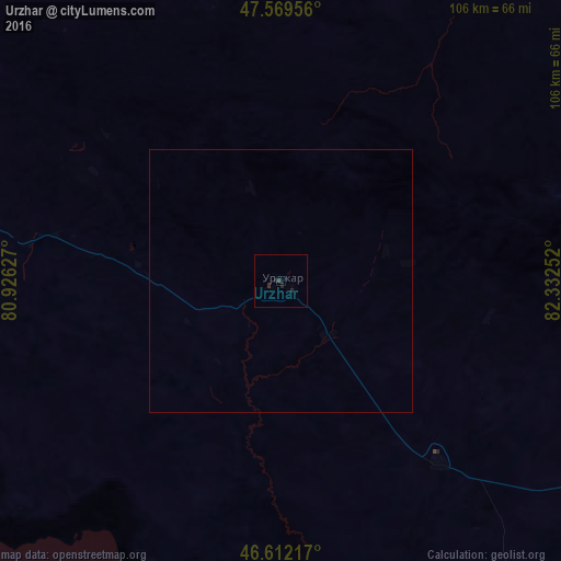
99.88%Clear (daylight) street map image can be seen on geolist.org.
Map coordinates:
47° 34' 10.4" North, 80° 55' 34.6" East
47° 5' 34.9" North, 81° 37' 45.8" East
46° 36' 43.8" North, 82° 19' 57.1" East
Some cities around Urzhar sort by population:
• Sarkand
228.7 km =142.1 mi,  215°
215°
• Ayagoz
132.1 km =82.1 mi,  317°
317°
• Zaysan
248 km =154.1 mi,  80°
80°
• Kurchum
223.2 km =138.7 mi,  42°
42°
• Aksuat
237.5 km =147.6 mi, 40°
• Tūghyl
206.2 km =128.1 mi,  70°
70°
• Lepsy
225.9 km =140.4 mi,  245°
245°
• Kokpekty
193 km =119.9 mi,  17°
17°
1517721 (p: 14,826)
Sources (retrieved 2019-11-25):
» Earth at Night: Flat Maps 2012, 2016