Zhangatas night lights from space
Night Light of Zhangatas (Zhambyl) from space (Kazakhstan) Src. Average luminocity for 10x10km area is 1.6762% and for 50x50km: 0.1035%.

Analysis of Zhangatas night lights 2016
Square area 10x10 km:
 0%
0%90-99
0%80-89
0%70-79
0%60-69
1.27%50-59
0.63%40-49
0%30-39
0%20-29
1.27%10-19
0%0-9
96.83%Square area 50x50 km:
0%90-99
0%80-89
0%70-79
0.05%60-69
0.05%50-59
0.02%40-49
0%30-39
0%20-29
0.05%10-19
0%0-9
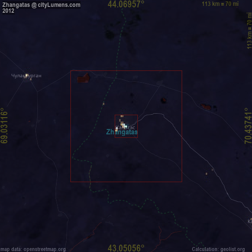
99.83%Clear (daylight) street map image can be seen on geolist.org.
Map coordinates:
44° 4' 10.5" North, 69° 1' 52.2" East
43° 33' 44" North, 69° 44' 3.4" East
43° 3' 2" North, 70° 26' 14.7" East
Some cities around Zhangatas sort by population:
• Kentau
99.2 km =61.6 mi,  267°
267°
• Karatau
73 km =45.4 mi,  125°
125°
• Temirlanovka
113.8 km =70.7 mi,  199°
199°
• Chulakkurgan
50 km =31.1 mi,  296°
296°
• Kantagi
92.9 km =57.7 mi, 267°
• Chayan
65.3 km =40.6 mi,  205°
205°
• Sastobe
114.2 km =71 mi,  169°
169°
• Ashchysay
67.4 km =41.9 mi, 269°
1516788 (p: 33,492)
Sources (retrieved 2019-11-25):
» Earth at Night: Flat Maps 2012, 2016