Maloye Ganyushkino night lights from space
Night Light of Maloye Ganyushkino (Atyraū) from space (Kazakhstan) Src. Average luminocity for 10x10km area is 1.2259% and for 50x50km: 0.0955%.
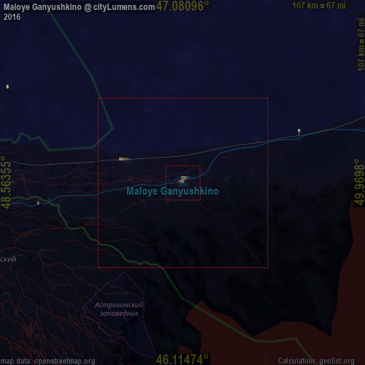
Analysis of Maloye Ganyushkino night lights 2016
Square area 10x10 km:
 0%
0%90-99
0%80-89
0%70-79
0%60-69
0%50-59
0%40-49
1.42%30-39
0.85%20-29
0.57%10-19
0.57%0-9
96.59%Square area 50x50 km:
0%90-99
0%80-89
0%70-79
0%60-69
0.02%50-59
0.02%40-49
0.06%30-39
0.06%20-29
0.05%10-19
0.05%0-9
99.74%Clear (daylight) street map image can be seen on geolist.org.
Map coordinates:
47° 4' 51.5" North, 48° 33' 48.8" East
46° 36' 0" North, 49° 16' 0" East
46° 6' 53.1" North, 49° 58' 11.3" East
Some cities around Maloye Ganyushkino sort by population:
• Astrakhan, RU
97.9 km =60.8 mi,  253°
253°
• Kamyzyak, RU
106.5 km =66.2 mi,  239°
239°
• Narimanov, RU
108.6 km =67.5 mi,  275°
275°
• Krasnyy Yar, RU
70.8 km =44 mi,  263°
263°
• Ikryanoye, RU
130.7 km =81.2 mi, 244°
• Volodarskiy, RU
59.8 km =37.2 mi, 248°
• Krasnyye Barrikady, RU
116.9 km =72.6 mi, 247°
• Starokucherganovka, RU
105 km =65.2 mi, 253°
608901 (p: 8,387)
Sources (retrieved 2019-11-25):
» Earth at Night: Flat Maps 2012, 2016