Ḩawallī night lights from space
Night Light of Ḩawallī (Hawalli) from space (Kuwait) Src. Average luminocity for 10x10km area is 94.0303% and for 50x50km: 43.6202%.
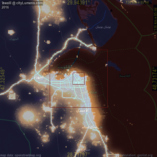
Analysis of Ḩawallī night lights 2016
Square area 10x10 km:
 75.38%
90-99
8.71%80-89
0%70-79
2.08%60-69
10.8%50-59
2.08%40-49
0.95%30-39
0%20-29
0%10-19
0%0-9
0%Square area 50x50 km:
18.99%90-99
6.77%80-89
2.45%70-79
4.53%60-69
8.18%50-59
3.86%40-49
3.32%30-39
3.55%20-29
3.88%10-19
6.91%0-9
37.56%Clear (daylight) street map image can be seen on geolist.org.
Map coordinates:
29° 56' 38.1" North, 47° 19' 31.8" East
29° 19' 58" North, 48° 1' 43" East
28° 43' 4.7" North, 48° 43' 54.3" East
Some cities around Ḩawallī sort by population:
• As Sālimīyah
4.6 km =2.9 mi,  88°
88°
• Kuwait City
6.4 km =4 mi,  310°
310°
• Ar Rumaythīyah
5 km =3.1 mi,  117°
117°
• Salwá
6.4 km =4 mi,  130°
130°
• Bayān
3.8 km =2.4 mi,  149°
149°
• Janūb as Surrah
8.6 km =5.3 mi,  214°
214°
• Ad Dasmah
4.4 km =2.7 mi,  323°
323°
• Ash Shāmīyah
6.7 km =4.2 mi,  283°
283°
285629 (p: 164,212)
Sources (retrieved 2019-11-25):
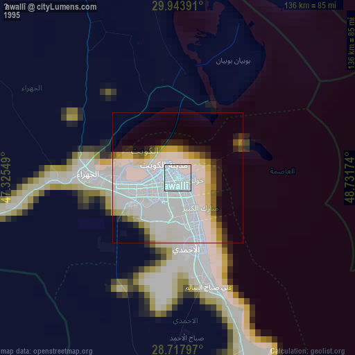
» NASA, Earths city lights 1995
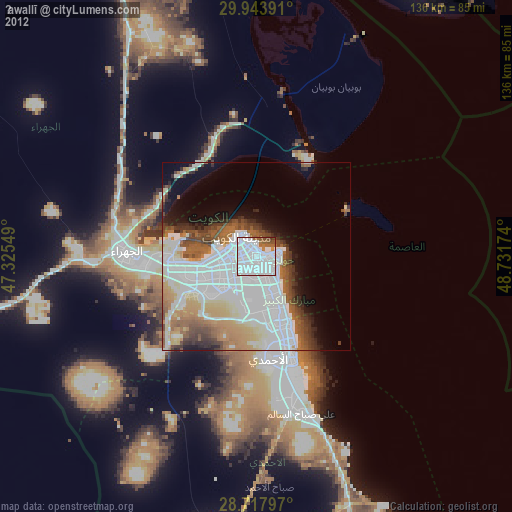
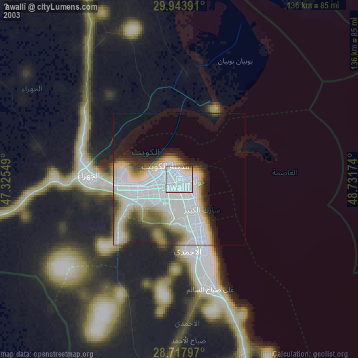
» NASA city lights 2003
» Earth at Night: Flat Maps 2012, 2016