Bayān night lights from space
Night Light of Bayān (Hawalli) from space (Kuwait) Src. Average luminocity for 10x10km area is 99.3731% and for 50x50km: 44.0084%.
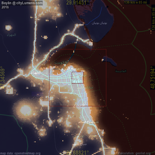
Analysis of Bayān night lights 2016
Square area 10x10 km:
 84.85%
90-99
13.64%80-89
0%70-79
1.52%60-69
0%50-59
0%40-49
0%30-39
0%20-29
0%10-19
0%0-9
0%Square area 50x50 km:
19.52%90-99
6.46%80-89
2.31%70-79
4.72%60-69
8.18%50-59
3.99%40-49
3.67%30-39
3.82%20-29
4.11%10-19
5.94%0-9
37.29%Clear (daylight) street map image can be seen on geolist.org.
Map coordinates:
29° 54' 52.2" North, 47° 20' 44.5" East
29° 18' 11.5" North, 48° 2' 55.7" East
28° 41' 17.6" North, 48° 45' 7" East
Some cities around Bayān sort by population:
• Ḩawallī
3.8 km =2.4 mi,  329°
329°
• As Sālimīyah
4.3 km =2.7 mi,  37°
37°
• Şabāḩ as Sālim
5.2 km =3.2 mi,  170°
170°
• Al Farwānīyah
9.2 km =5.7 mi,  251°
251°
• Ar Rumaythīyah
2.6 km =1.6 mi,  69°
69°
• Salwá
3 km =1.9 mi,  105°
105°
• Janūb as Surrah
7.8 km =4.8 mi,  241°
241°
• Ad Dasmah
8.3 km =5.2 mi, 326°
285663 (p: 30,635)
Sources (retrieved 2019-11-25):
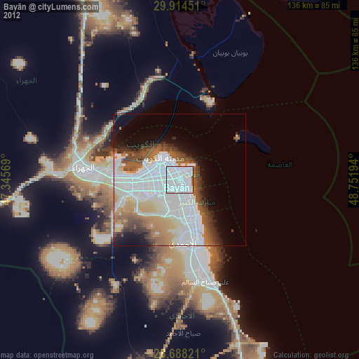
» Earth at Night: Flat Maps 2012, 2016