Kuwait City night lights from space
Night Light of Kuwait City (Al Asimah) from space (Kuwait) Src. Average luminocity for 10x10km area is 84.5322% and for 50x50km: 45.7183%.
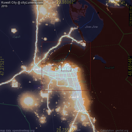
Analysis of Kuwait City night lights 2016
Square area 10x10 km:
 51.7%
51.7%90-99
13.07%80-89
2.08%70-79
2.84%60-69
10.98%50-59
9.28%40-49
6.25%30-39
3.03%20-29
0.76%10-19
0%0-9
0%Square area 50x50 km:
19.24%90-99
7.3%80-89
2.41%70-79
4.45%60-69
7.77%50-59
4.82%40-49
4.45%30-39
3.97%20-29
4.12%10-19
9.07%0-9
32.39%Clear (daylight) street map image can be seen on geolist.org.
Map coordinates:
29° 58' 50.2" North, 47° 16' 30.8" East
29° 22' 11" North, 47° 58' 42" East
28° 45' 18.5" North, 48° 40' 53.3" East
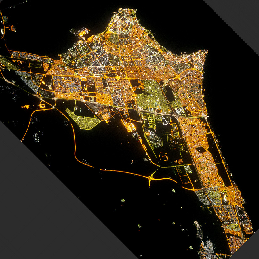
Fantastic image of Kuwait City from space taken by astronauts [src2], but I don't have information about it's orientation, scale or angle. If necessary, it was rotated manually, so North points approximately to upper direction. Click to zoom in:
Some cities around Kuwait City sort by population:
• Ḩawallī
6.4 km =4 mi,  130°
130°
• As Sālimīyah
10.3 km =6.4 mi,  112°
112°
• Al Farwānīyah
10.4 km =6.5 mi,  190°
190°
• Ar Rābiyah
9.4 km =5.8 mi,  207°
207°
• Bayān
10.1 km =6.3 mi,  137°
137°
• Janūb as Surrah
11.2 km =7 mi,  180°
180°
• Ad Dasmah
2.3 km =1.4 mi,  103°
103°
• Ash Shāmīyah
3 km =1.9 mi, 212°
285787 (p: 60,064)
Sources (retrieved 2019-11-25):
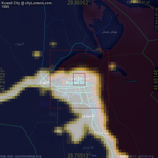
» NASA, Earths city lights 1995
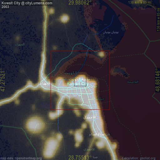
» NASA city lights 2003
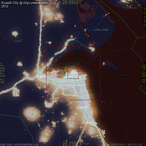
» Earth at Night: Flat Maps 2012, 2016
Src.2: Kuwait city at Night - NASA 2012-08-09