Wŏnju night lights from space
Night Light of Wŏnju (Gangwon-do) from space (South Korea) Src. Average luminocity for 10x10km area is 68.039% and for 50x50km: 10.4034%.
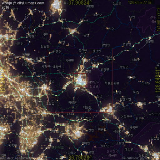


Analysis of Wŏnju night lights 2016
Square area 10x10 km:
 17.05%
90-99
16.4%80-89
7.14%70-79
6.01%60-69
12.99%50-59
9.74%40-49
11.04%30-39
12.18%20-29
6.49%10-19
0.97%0-9
0%Square area 50x50 km:
0.99%90-99
1.78%80-89
1.12%70-79
1.08%60-69
1.58%50-59
1.55%40-49
1.43%30-39
2.25%20-29
2.82%10-19
7.34%0-9
78.07%Clear (daylight) street map image can be seen on geolist.org.
Map coordinates:
37° 54' 29.7" North, 127° 14' 31.8" East
37° 21' 5" North, 127° 56' 43" East
36° 47' 25.4" North, 128° 38' 54.3" East
Some cities around Wŏnju sort by population:
• Icheon-si
45.2 km =28.1 mi,  259°
259°
• Yangp'yŏng
43 km =26.7 mi,  290°
290°
• Gwangju
61.1 km =38 mi,  276°
276°
• Hongch’ŏn
38.2 km =23.7 mi,  352°
352°
• Pubal
39.3 km =24.4 mi, 260°
• Yeoju
28.2 km =17.5 mi, 257°
• Neietsu
49.9 km =31 mi,  111°
111°
• Pyeongchang
39.6 km =24.6 mi,  86°
86°
1833105 (p: 243,387)
Sources (retrieved 2019-11-25):
» NASA, Earths city lights 1995
» NASA city lights 2003
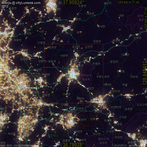
» Earth at Night: Flat Maps 2012, 2016