Icheon-si night lights from space
Night Light of Icheon-si (Gyeonggi-do) from space (South Korea) Src. Average luminocity for 10x10km area is 68.4252% and for 50x50km: 36.5566%.
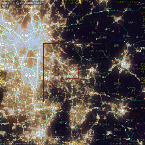
Analysis of Icheon-si night lights 2016
Square area 10x10 km:
 5.44%
5.44%90-99
11.56%80-89
7.48%70-79
15.82%60-69
22.11%50-59
28.4%40-49
7.14%30-39
2.04%20-29
0%10-19
0%0-9
0%Square area 50x50 km:
1.44%90-99
3.98%80-89
3.84%70-79
5.68%60-69
8.63%50-59
10.17%40-49
9%30-39
9.72%20-29
11.73%10-19
13.15%0-9
22.66%Clear (daylight) street map image can be seen on geolist.org.
Map coordinates:
37° 50' 11.6" North, 126° 44' 21.8" East
37° 16' 45" North, 127° 26' 33" East
36° 43' 3.4" North, 128° 8' 44.3" East
Some cities around Icheon-si sort by population:
• Seongnam-si
32.2 km =20 mi,  303°
303°
• Osan
35.8 km =22.2 mi,  246°
246°
• Hanam
35.8 km =22.2 mi,  324°
324°
• Yangp'yŏng
23.8 km =14.8 mi,  10°
10°
• Gwangju
21.9 km =13.6 mi,  311°
311°
• Anseong
33.5 km =20.8 mi,  207°
207°
• Pubal
5.9 km =3.7 mi,  76°
76°
• Yeoju
17 km =10.6 mi, 83°
1843702 (p: 196,230)
Sources (retrieved 2019-11-25):
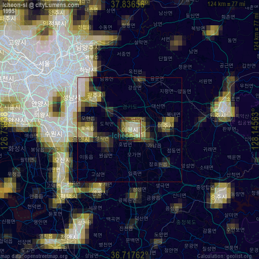
» NASA, Earths city lights 1995
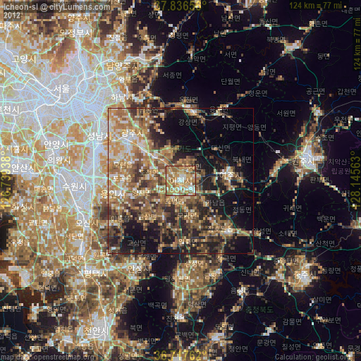
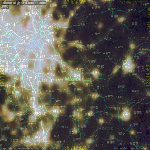
» NASA city lights 2003
» Earth at Night: Flat Maps 2012, 2016