Hongch’ŏn night lights from space
Night Light of Hongch’ŏn (Gangwon-do) from space (South Korea) Src. Average luminocity for 10x10km area is 23.5408% and for 50x50km: 6.7553%.
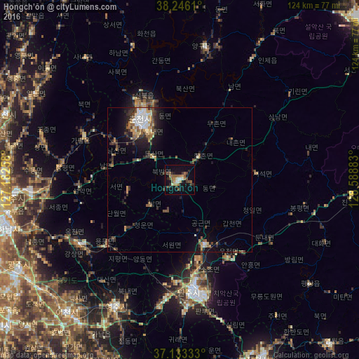

Analysis of Hongch’ŏn night lights 2016
Square area 10x10 km:
 1.87%
1.87%90-99
2.38%80-89
1.53%70-79
2.89%60-69
4.25%50-59
6.8%40-49
3.74%30-39
2.72%20-29
4.76%10-19
21.09%0-9
47.96%Square area 50x50 km:
0.71%90-99
1.02%80-89
0.56%70-79
0.83%60-69
0.84%50-59
1.24%40-49
0.99%30-39
1.32%20-29
1.9%10-19
4.15%0-9
86.45%Clear (daylight) street map image can be seen on geolist.org.
Map coordinates:
38° 14' 46" North, 127° 10' 57.3" East
37° 41' 30.5" North, 127° 53' 8.5" East
37° 7' 60" North, 128° 35' 19.8" East
Some cities around Hongch’ŏn sort by population:
• Wŏnju
38.2 km =23.7 mi,  172°
172°
• Chuncheon
24.3 km =15.1 mi,  326°
326°
• Hwado
51.1 km =31.8 mi,  265°
265°
• Yangp'yŏng
41.4 km =25.7 mi,  237°
237°
• Gapyeong
36.4 km =22.6 mi,  295°
295°
• Yeoju
49.3 km =30.6 mi,  206°
206°
• Yanggu
46.9 km =29.1 mi,  11°
11°
• Hwacheon
48.8 km =30.3 mi,  341°
341°
1844191 (p: 75,251)
Sources (retrieved 2019-11-25):
» NASA, Earths city lights 1995
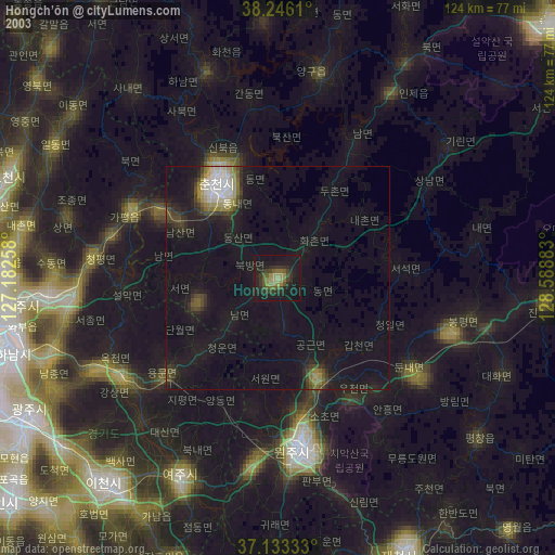
» NASA city lights 2003
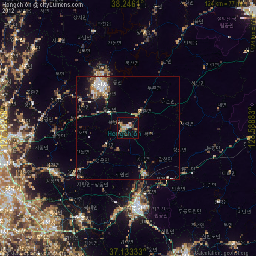
» Earth at Night: Flat Maps 2012, 2016