Pubal night lights from space
Night Light of Pubal (Gyeonggi-do) from space (South Korea) Src. Average luminocity for 10x10km area is 42.1139% and for 50x50km: 29.1558%.
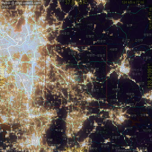
Analysis of Pubal night lights 2016
Square area 10x10 km:
 2.21%
2.21%90-99
5.44%80-89
1.87%70-79
7.14%60-69
8.5%50-59
12.76%40-49
9.01%30-39
10.88%20-29
17.52%10-19
21.77%0-9
2.89%Square area 50x50 km:
0.86%90-99
2.69%80-89
2.68%70-79
4.06%60-69
6.15%50-59
8.37%40-49
7.95%30-39
8.91%20-29
10.85%10-19
12.99%0-9
34.49%Clear (daylight) street map image can be seen on geolist.org.
Map coordinates:
37° 50' 56.3" North, 126° 48' 16.8" East
37° 17' 30" North, 127° 30' 28" East
36° 43' 48.8" North, 128° 12' 39.3" East
Some cities around Pubal sort by population:
• Seongnam-si
36.6 km =22.7 mi,  296°
296°
• Wŏnju
39.3 km =24.4 mi,  80°
80°
• Icheon-si
5.9 km =3.7 mi,  256°
256°
• Hanam
38.4 km =23.9 mi,  315°
315°
• Yangp'yŏng
22.1 km =13.7 mi,  356°
356°
• Gwangju
25.8 km =16 mi, 300°
• Anseong
37.7 km =23.4 mi,  213°
213°
• Yeoju
11.2 km =7 mi,  87°
87°
1896953 (p: 63,026)
Sources (retrieved 2019-11-25):
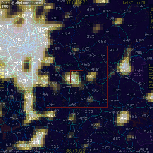
» NASA, Earths city lights 1995
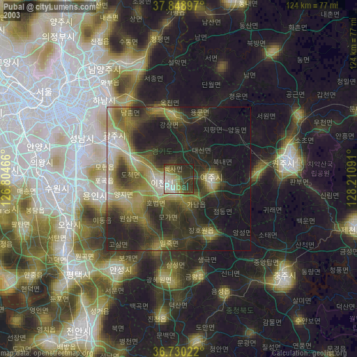
» NASA city lights 2003
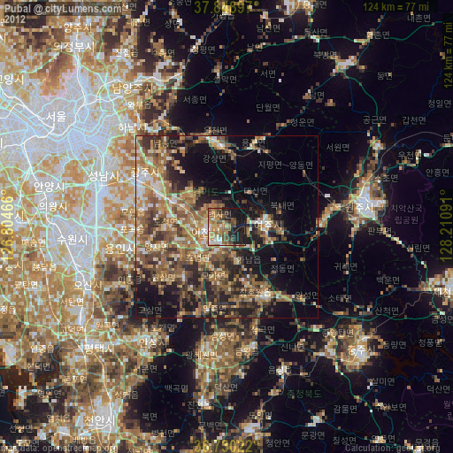
» Earth at Night: Flat Maps 2012, 2016