Yeoju night lights from space
Night Light of Yeoju (Gyeonggi-do) from space (South Korea) Src. Average luminocity for 10x10km area is 42.5714% and for 50x50km: 21.2447%.
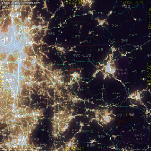
Analysis of Yeoju night lights 2016
Square area 10x10 km:
 3.41%
3.41%90-99
5.19%80-89
7.14%70-79
6.66%60-69
6.98%50-59
7.31%40-49
6.17%30-39
14.12%20-29
12.82%10-19
26.79%0-9
3.41%Square area 50x50 km:
0.5%90-99
1.75%80-89
1.91%70-79
2.74%60-69
4.09%50-59
5.88%40-49
5.14%30-39
6.73%20-29
9.23%10-19
11.97%0-9
50.06%Clear (daylight) street map image can be seen on geolist.org.
Map coordinates:
37° 51' 11.2" North, 126° 55' 50.8" East
37° 17' 45" North, 127° 38' 2" East
36° 44' 3.9" North, 128° 20' 13.3" East
Some cities around Yeoju sort by population:
• Seongnam-si
46.6 km =29 mi,  289°
289°
• Wŏnju
28.2 km =17.5 mi,  77°
77°
• Icheon-si
17 km =10.6 mi,  263°
263°
• Hanam
46.6 km =29 mi,  305°
305°
• Yangp'yŏng
25 km =15.5 mi,  329°
329°
• Gwangju
35.6 km =22.1 mi, 290°
• Anseong
45.2 km =28.1 mi,  225°
225°
• Pubal
11.2 km =7 mi,  267°
267°
1832743 (p: 37,490)
Sources (retrieved 2019-11-25):
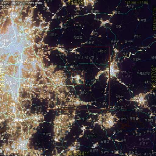
» Earth at Night: Flat Maps 2012, 2016