Manp’o night lights from space
Night Light of Manp’o (Chagang-do) from space (North Korea) Src. Average luminocity for 10x10km area is 0% and for 50x50km: 0.1258%.
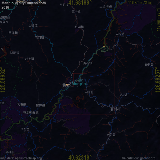
Analysis of Manp’o night lights 2016
Square area 10x10 km:
 0%
0%90-99
0%80-89
0%70-79
0%60-69
0%50-59
0%40-49
0%30-39
0%20-29
0%10-19
0%0-9
100%Square area 50x50 km:
0%90-99
0%80-89
0%70-79
0.03%60-69
0.03%50-59
0.08%40-49
0%30-39
0.05%20-29
0.04%10-19
0.08%0-9
99.7%Clear (daylight) street map image can be seen on geolist.org.
Map coordinates:
41° 40' 55.2" North, 125° 35' 10.8" East
41° 9' 17" North, 126° 17' 22" East
40° 37' 23.4" North, 126° 59' 33.3" East
Some cities around Manp’o sort by population:
• Tonghua, CN
69.7 km =43.3 mi,  334°
334°
• Kanggye
32.2 km =20 mi,  129°
129°
• Baishan, CN
87.8 km =54.6 mi,  7°
7°
• Linjiang, CN
89 km =55.3 mi,  35°
35°
• Sanchazi, CN
106.3 km =66.1 mi, 14°
• Huanren, CN
78.2 km =48.6 mi,  279°
279°
• Erdaojiang, CN
72.4 km =45 mi,  342°
342°
• Chasŏng
45 km =28 mi, 40°
2042893 (p: 116,760)
Sources (retrieved 2019-11-25):
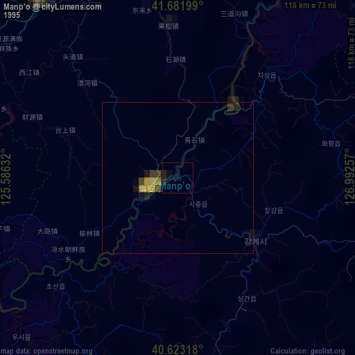
» NASA, Earths city lights 1995
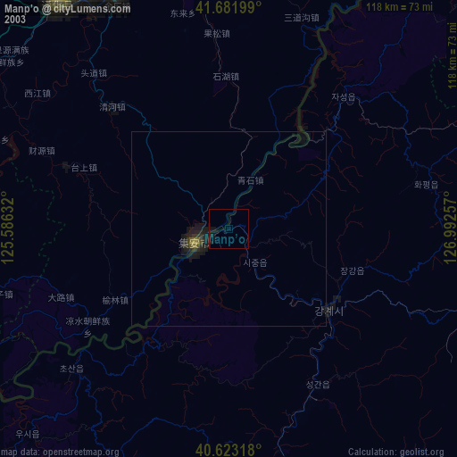
» NASA city lights 2003
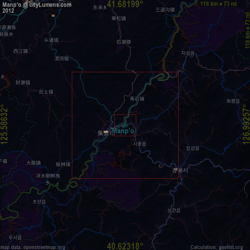
» Earth at Night: Flat Maps 2012, 2016