Huanren night lights from space
Night Light of Huanren (Liaoning) from space (China) Src. Average luminocity for 10x10km area is 24.7744% and for 50x50km: 1.13%.
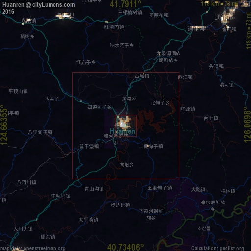
Analysis of Huanren night lights 2016
Square area 10x10 km:
 3.08%
3.08%90-99
2.27%80-89
3.73%70-79
2.92%60-69
5.19%50-59
4.87%40-49
1.14%30-39
5.52%20-29
3.08%10-19
20.29%0-9
47.89%Square area 50x50 km:
0.12%90-99
0.09%80-89
0.15%70-79
0.12%60-69
0.22%50-59
0.23%40-49
0.05%30-39
0.22%20-29
0.17%10-19
0.89%0-9
97.74%Clear (daylight) street map image can be seen on geolist.org.
Map coordinates:
41° 47' 28" North, 124° 39' 48.8" East
41° 15' 53" North, 125° 22' 0" East
40° 44' 2.6" North, 126° 4' 11.3" East
Some cities around Huanren sort by population:
• Tonghua
68.8 km =42.8 mi,  42°
42°
• Kanggye, KP
107.2 km =66.6 mi,  107°
107°
• Manp’o, KP
78.2 km =48.6 mi,  99°
99°
• Kuandian
77.1 km =47.9 mi,  219°
219°
• Xiaoshi
104.2 km =64.7 mi,  271°
271°
• Erdaojiang
79.4 km =49.3 mi, 44°
• Sakchu-ŭp, KP
101 km =62.8 mi,  195°
195°
• Chasŏng, KP
108.6 km =67.5 mi,  78°
78°
2036713 (p: 66,147)
Sources (retrieved 2019-11-25):
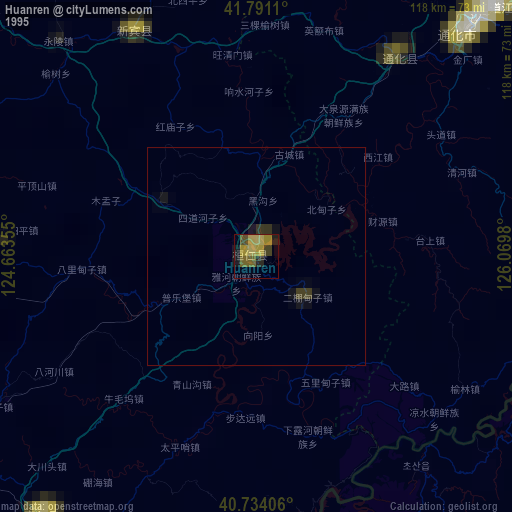
» NASA, Earths city lights 1995
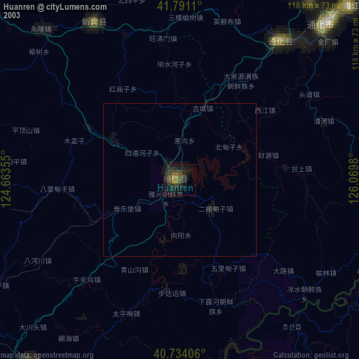
» NASA city lights 2003
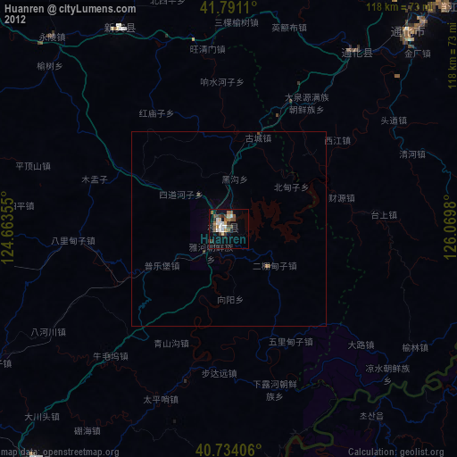
» Earth at Night: Flat Maps 2012, 2016