Kanggye night lights from space
Night Light of Kanggye (Chagang-do) from space (North Korea) Src. Average luminocity for 10x10km area is 0.3316% and for 50x50km: 0.0127%.

Analysis of Kanggye night lights 2016
Square area 10x10 km:
 0%
0%90-99
0%80-89
0%70-79
0%60-69
0%50-59
0%40-49
0%30-39
0%20-29
0.68%10-19
0.68%0-9
98.64%Square area 50x50 km:
0%90-99
0%80-89
0%70-79
0%60-69
0%50-59
0%40-49
0%30-39
0%20-29
0.03%10-19
0.03%0-9
99.95%Clear (daylight) street map image can be seen on geolist.org.
Map coordinates:
41° 29' 53.6" North, 125° 52' 55.6" East
40° 58' 10.1" North, 126° 35' 6.8" East
40° 26' 11.1" North, 127° 17' 18.1" East
Some cities around Kanggye sort by population:
• Tonghua, CN
99.9 km =62.1 mi,  326°
326°
• Baishan, CN
108.6 km =67.5 mi,  352°
352°
• Manp’o
32.2 km =20 mi,  309°
309°
• Linjiang, CN
96.9 km =60.2 mi,  16°
16°
• Huanren, CN
107.2 km =66.6 mi,  287°
287°
• Erdaojiang, CN
100.9 km =62.7 mi, 332°
• Pukchil-lodongjagu
110.8 km =68.8 mi,  219°
219°
• Chasŏng
54.8 km =34.1 mi,  4°
4°
2043572 (p: 209,530)
Sources (retrieved 2019-11-25):
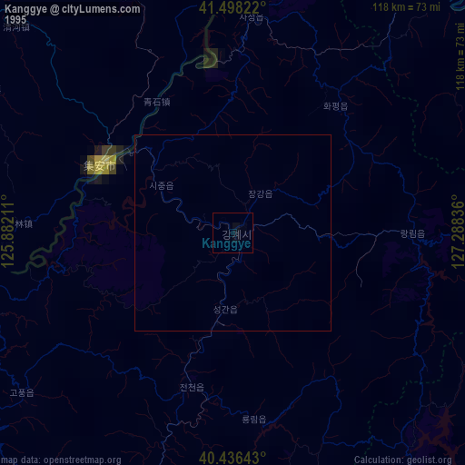
» NASA, Earths city lights 1995
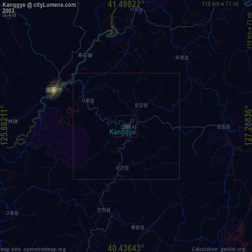
» NASA city lights 2003
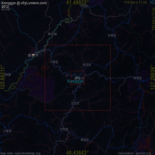
» Earth at Night: Flat Maps 2012, 2016