Linjiang night lights from space
Night Light of Linjiang (Jilin) from space (China) Src. Average luminocity for 10x10km area is 1.6439% and for 50x50km: 0.1008%.
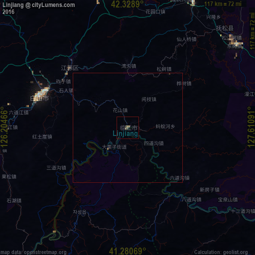
Analysis of Linjiang night lights 2016
Square area 10x10 km:
 0%
0%90-99
0%80-89
0%70-79
0%60-69
0.61%50-59
1.06%40-49
0.76%30-39
0.61%20-29
0%10-19
0%0-9
96.97%Square area 50x50 km:
0%90-99
0%80-89
0%70-79
0%60-69
0.03%50-59
0.07%40-49
0.03%30-39
0.04%20-29
0.03%10-19
0%0-9
99.8%Clear (daylight) street map image can be seen on geolist.org.
Map coordinates:
42° 19' 44" North, 126° 12' 16.8" East
41° 48' 25" North, 126° 54' 28" East
41° 16' 50.5" North, 127° 36' 39.3" East
Some cities around Linjiang sort by population:
• Tonghua
82 km =51 mi,  263°
263°
• Baishan
43 km =26.7 mi,  289°
289°
• Manp’o, KP
89 km =55.3 mi,  215°
215°
• Songjianghe
63.3 km =39.3 mi,  48°
48°
• Sanchazi
39.7 km =24.7 mi,  320°
320°
• Hepingjie
28.1 km =17.5 mi,  1°
1°
• Erdaojiang
72.7 km =45.2 mi,  267°
267°
• Chasŏng, KP
44.4 km =27.6 mi,  209°
209°
2036069 (p: 69,149)
Sources (retrieved 2019-11-25):
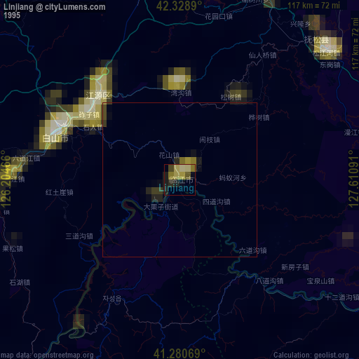
» NASA, Earths city lights 1995
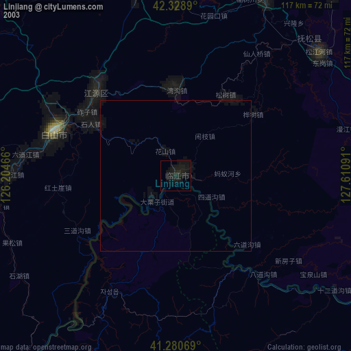
» NASA city lights 2003
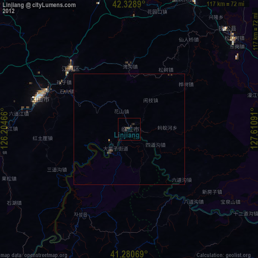
» Earth at Night: Flat Maps 2012, 2016