Sanchazi night lights from space
Night Light of Sanchazi (Jilin) from space (China) Src. Average luminocity for 10x10km area is 1.2242% and for 50x50km: 1.3451%.
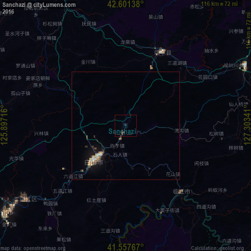
Analysis of Sanchazi night lights 2016
Square area 10x10 km:
 0%
0%90-99
0%80-89
0%70-79
0%60-69
0%50-59
0%40-49
0.61%30-39
1.52%20-29
0.61%10-19
1.21%0-9
96.06%Square area 50x50 km:
0.01%90-99
0.19%80-89
0.2%70-79
0.22%60-69
0.16%50-59
0.13%40-49
0.22%30-39
0.38%20-29
0.23%10-19
1.13%0-9
97.13%Clear (daylight) street map image can be seen on geolist.org.
Map coordinates:
42° 36' 5" North, 125° 53' 49.8" East
42° 4' 54" North, 126° 36' 1" East
41° 33' 27.6" North, 127° 18' 12.3" East
Some cities around Sanchazi sort by population:
• Tonghua
68.8 km =42.8 mi,  234°
234°
• Baishan
21.8 km =13.5 mi,  223°
223°
• Linjiang
39.7 km =24.7 mi,  140°
140°
• Songjianghe
73.4 km =45.6 mi,  80°
80°
• Huinan
66.3 km =41.2 mi,  335°
335°
• Hepingjie
26.2 km =16.3 mi,  95°
95°
• Erdaojiang
58 km =36 mi, 234°
• Chasŏng, KP
69.1 km =42.9 mi,  177°
177°
2035182 (p: 66,576)
Sources (retrieved 2019-11-25):
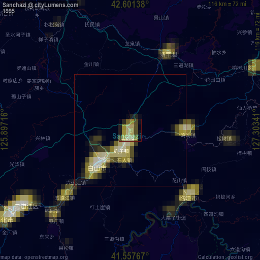
» NASA, Earths city lights 1995
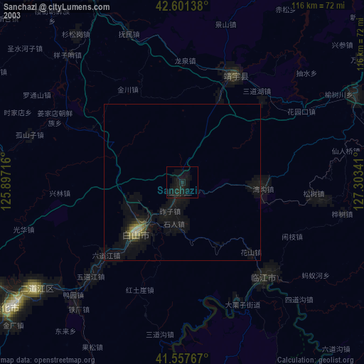
» NASA city lights 2003
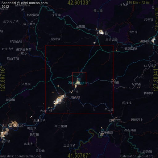
» Earth at Night: Flat Maps 2012, 2016