Pukchil-lodongjagu night lights from space
Night Light of Pukchil-lodongjagu (P'yŏngan-bukto) from space (North Korea) Src. Average luminocity for 10x10km area is 0% and for 50x50km: 0%.
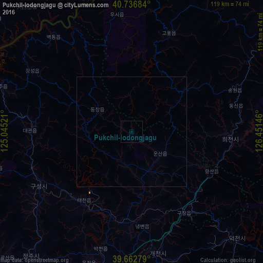
Analysis of Pukchil-lodongjagu night lights 2016
Square area 10x10 km:
 0%
0%90-99
0%80-89
0%70-79
0%60-69
0%50-59
0%40-49
0%30-39
0%20-29
0%10-19
0%0-9
100%Square area 50x50 km:
0%90-99
0%80-89
0%70-79
0%60-69
0%50-59
0%40-49
0%30-39
0%20-29
0%10-19
0%0-9
100%Clear (daylight) street map image can be seen on geolist.org.
Map coordinates:
40° 44' 12.6" North, 125° 2' 42.8" East
40° 12' 7" North, 125° 44' 54" East
39° 39' 46" North, 126° 27' 5.3" East
Some cities around Pukchil-lodongjagu sort by population:
• Anju
65.3 km =40.6 mi,  186°
186°
• Kusŏng
49.4 km =30.7 mi,  240°
240°
• Chŏngju
72.8 km =45.2 mi,  219°
219°
• Kujang-ŭp
44.3 km =27.5 mi,  147°
147°
• Sakchu-ŭp
63.1 km =39.2 mi,  289°
289°
• Sinanju
68.2 km =42.4 mi, 189°
• Panghyŏn-dong
55.6 km =34.5 mi,  230°
230°
• Yŏngbyŏn
43.5 km =27 mi,  173°
173°
2041817 (p: 14,129)
Sources (retrieved 2019-11-25):
» Earth at Night: Flat Maps 2012, 2016