Kampong Speu night lights from space
Night Light of Kampong Speu from space (Cambodia) Src. Average luminocity for 10x10km area is 4.6623% and for 50x50km: 0.4595%.
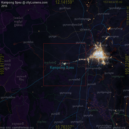
Analysis of Kampong Speu night lights 2016
Square area 10x10 km:
 0.43%
0.43%90-99
0.43%80-89
0%70-79
0.87%60-69
1.52%50-59
0.22%40-49
1.52%30-39
1.95%20-29
0%10-19
0%0-9
93.07%Square area 50x50 km:
0.02%90-99
0.02%80-89
0.03%70-79
0.08%60-69
0.1%50-59
0.08%40-49
0.15%30-39
0.16%20-29
0.12%10-19
0.04%0-9
99.22%Clear (daylight) street map image can be seen on geolist.org.
Map coordinates:
12° 8' 29.7" North, 103° 49' 3.8" East
11° 27' 12" North, 104° 31' 15.1" East
10° 45' 48.1" North, 105° 13' 26.3" East
Some cities around Kampong Speu sort by population:
• Phnom Penh
44.7 km =27.8 mi,  74°
74°
• Takeo
58.9 km =36.6 mi,  150°
150°
• Cho Dok, VN
106 km =65.9 mi,  142°
142°
• Ta Khmau
46.9 km =29.1 mi,  85°
85°
• Phumĭ Véal Srê
59.6 km =37 mi, 151°
• Hà Tiên, VN
119.1 km =74 mi,  181°
181°
• Prey Veng
87.7 km =54.5 mi, 87°
• Krong Kep
110.2 km =68.5 mi,  191°
191°
1831133 (p: 33,231)
Sources (retrieved 2019-11-25):
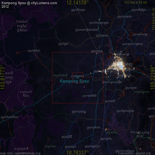
» Earth at Night: Flat Maps 2012, 2016