Banlung night lights from space
Night Light of Banlung (Ratanakiri) from space (Cambodia) Src. Average luminocity for 10x10km area is 3.4938% and for 50x50km: 0.1398%.
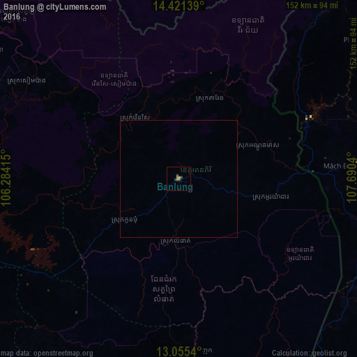
Analysis of Banlung night lights 2016
Square area 10x10 km:
 0%
0%90-99
0%80-89
0%70-79
0.83%60-69
1.65%50-59
1.65%40-49
0%30-39
1.65%20-29
0%10-19
0%0-9
94.21%Square area 50x50 km:
0%90-99
0%80-89
0%70-79
0.03%60-69
0.07%50-59
0.07%40-49
0%30-39
0.07%20-29
0%10-19
0%0-9
99.77%Clear (daylight) street map image can be seen on geolist.org.
Map coordinates:
14° 25' 17" North, 106° 17' 2.9" East
13° 44' 21.8" North, 106° 59' 14.2" East
13° 3' 19.4" North, 107° 41' 25.4" East
Some cities around Banlung sort by population:
• Buôn Ma Thuột, VN
164.7 km =102.3 mi,  136°
136°
• Pleiku, VN
112.6 km =70 mi,  76°
76°
• Kon Tum, VN
129.6 km =80.5 mi,  58°
58°
• Stung Treng
112.6 km =70 mi,  257°
257°
• Lumphat
27.6 km =17.1 mi,  181°
181°
• Muang Không, LA
129.3 km =80.3 mi,  288°
288°
• Sen Monorom
144.4 km =89.7 mi,  171°
171°
• Attapeu, LA
120.3 km =74.8 mi,  351°
351°
1831732 (p: 17,000)
Sources (retrieved 2019-11-25):
» Earth at Night: Flat Maps 2012, 2016