Attapeu night lights from space
Night Light of Attapeu (Attapu) from space (Laos) Src. Average luminocity for 10x10km area is 10.7397% and for 50x50km: 0.5929%.
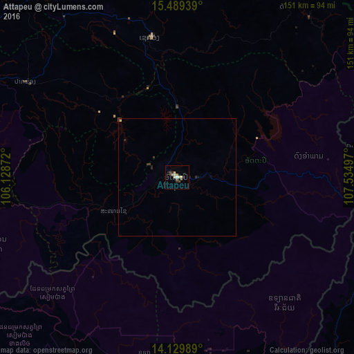
Analysis of Attapeu night lights 2016
Square area 10x10 km:
 0.41%
0.41%90-99
2.27%80-89
3.1%70-79
0.62%60-69
0.21%50-59
0.83%40-49
3.31%30-39
1.65%20-29
1.45%10-19
1.03%0-9
85.12%Square area 50x50 km:
0.02%90-99
0.1%80-89
0.15%70-79
0.02%60-69
0.01%50-59
0.06%40-49
0.21%30-39
0.11%20-29
0.18%10-19
0.09%0-9
99.05%Clear (daylight) street map image can be seen on geolist.org.
Map coordinates:
15° 29' 21.8" North, 106° 7' 43.4" East
14° 48' 38.6" North, 106° 49' 54.6" East
14° 7' 47.6" North, 107° 32' 5.9" East
Some cities around Attapeu sort by population:
• Pakse
116.2 km =72.2 mi,  287°
287°
• Kon Tum, VN
136.3 km =84.7 mi,  111°
111°
• Lumphat, KH
147.6 km =91.7 mi,  173°
173°
• Banlung, KH
120.3 km =74.8 mi, 171°
• Muang Không
130.4 km =81 mi,  233°
233°
• Champasak
102.9 km =63.9 mi,  275°
275°
• Salavan
110.1 km =68.4 mi,  336°
336°
• Sekong
60.6 km =37.7 mi,  348°
348°
1665046 (p: 4,297)
Sources (retrieved 2019-11-25):
» Earth at Night: Flat Maps 2012, 2016