Lumphat night lights from space
Night Light of Lumphat (Ratanakiri) from space (Cambodia) Src. Average luminocity for 10x10km area is 0% and for 50x50km: 0.0018%.
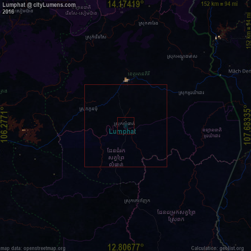
Analysis of Lumphat night lights 2016
Square area 10x10 km:
 0%
0%90-99
0%80-89
0%70-79
0%60-69
0%50-59
0%40-49
0%30-39
0%20-29
0%10-19
0%0-9
100%Square area 50x50 km:
0%90-99
0%80-89
0%70-79
0%60-69
0%50-59
0%40-49
0%30-39
0%20-29
0%10-19
0%0-9
100%Clear (daylight) street map image can be seen on geolist.org.
Map coordinates:
14° 10' 27.1" North, 106° 16' 37.6" East
13° 29' 29.3" North, 106° 58' 48.8" East
12° 48' 24.4" North, 107° 41' 0.1" East
Some cities around Lumphat sort by population:
• Buôn Ma Thuột, VN
146.7 km =91.2 mi,  128°
128°
• Pleiku, VN
123 km =76.4 mi,  63°
63°
• Kon Tum, VN
146.6 km =91.1 mi,  49°
49°
• Stung Treng
109.5 km =68 mi,  272°
272°
• Banlung
27.6 km =17.1 mi,  1°
1°
• Muang Không, LA
140.1 km =87.1 mi,  299°
299°
• Sen Monorom
117.3 km =72.9 mi,  168°
168°
• Attapeu, LA
147.6 km =91.7 mi,  353°
353°
1830377 (p: 19,205)
Sources (retrieved 2019-11-25):
» Earth at Night: Flat Maps 2012, 2016