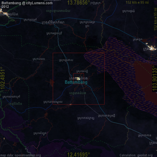
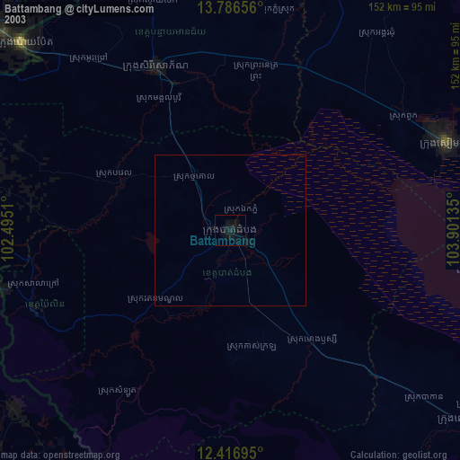
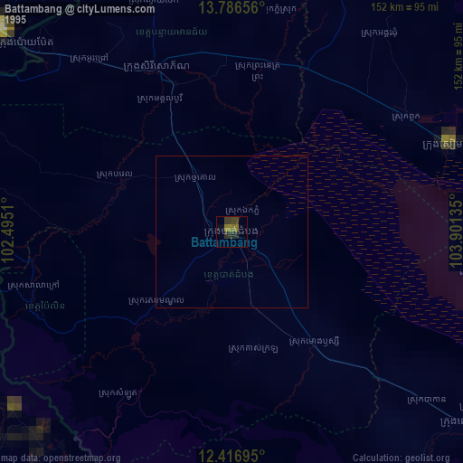
Battambang night lights from space
Night Light of Battambang from space (Cambodia) Src. Average luminocity for 10x10km area is 20.0649% and for 50x50km: 0.8516%.
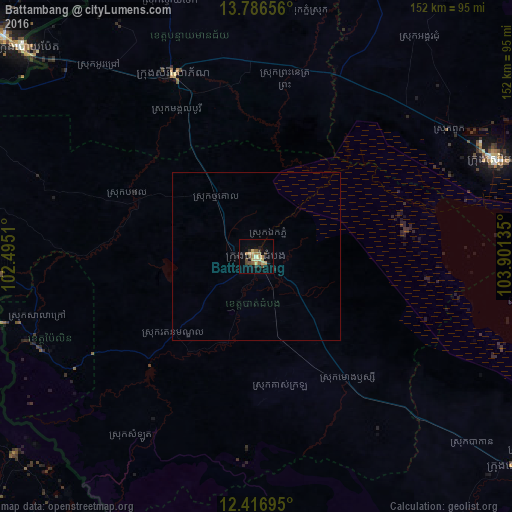
Analysis of Battambang night lights 2016
Square area 10x10 km:
 0%
0%90-99
1.52%80-89
6.06%70-79
1.95%60-69
4.55%50-59
3.25%40-49
4.11%30-39
3.25%20-29
0.43%10-19
7.14%0-9
67.75%Square area 50x50 km:
0%90-99
0.06%80-89
0.23%70-79
0.08%60-69
0.18%50-59
0.13%40-49
0.16%30-39
0.13%20-29
0.05%10-19
0.31%0-9
98.69%Clear (daylight) street map image can be seen on geolist.org.
Map coordinates:
13° 47' 11.6" North, 102° 29' 42.4" East
13° 6' 9.8" North, 103° 11' 53.6" East
12° 25' 1" North, 103° 54' 4.9" East
Some cities around Battambang sort by population:
• Siem Reap
77.3 km =48 mi,  68°
68°
• Paoy Paet
92.3 km =57.4 mi,  311°
311°
• Pursat
100.2 km =62.3 mi,  128°
128°
• Sisophon
59 km =36.7 mi,  335°
335°
• Aranyaprathet, TH
99.9 km =62.1 mi, 311°
• Pailin
69.8 km =43.4 mi,  246°
246°
• Bo Rai, TH
92.8 km =57.7 mi,  230°
230°
• Pong Nam Ron, TH
103.7 km =64.4 mi,  257°
257°
1831797 (p: 150,444)
Sources (retrieved 2019-11-25):
» NASA, Earths city lights 1995
» NASA city lights 2003
» Earth at Night: Flat Maps 2012, 2016