Sihanoukville night lights from space
Night Light of Sihanoukville (Preah Sihanouk) from space (Cambodia) Src. Average luminocity for 10x10km area is 25.0558% and for 50x50km: 1.5932%.
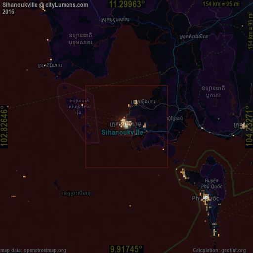

Analysis of Sihanoukville night lights 2016
Square area 10x10 km:
 1.65%
1.65%90-99
2.27%80-89
2.89%70-79
7.23%60-69
4.34%50-59
4.13%40-49
4.96%30-39
4.34%20-29
1.86%10-19
12.81%0-9
53.51%Square area 50x50 km:
0.07%90-99
0.09%80-89
0.2%70-79
0.39%60-69
0.3%50-59
0.24%40-49
0.3%30-39
0.28%20-29
0.11%10-19
0.67%0-9
97.35%Clear (daylight) street map image can be seen on geolist.org.
Map coordinates:
11° 17' 58.7" North, 102° 49' 35.3" East
10° 36' 33.6" North, 103° 31' 46.5" East
9° 55' 2.8" North, 104° 13' 57.8" East
Some cities around Sihanoukville sort by population:
• Phumĭ Véal Srê
142.5 km =88.5 mi,  73°
73°
• Hà Tiên, VN
107.7 km =66.9 mi,  103°
103°
• Kampong Speu
143.2 km =89 mi,  49°
49°
• Koh Kong
126.7 km =78.7 mi,  331°
331°
• Smach Mean Chey
117.3 km =72.9 mi, 332°
• Kampot
71.2 km =44.2 mi,  89°
89°
• Dương Đông, VN
64.1 km =39.8 mi,  132°
132°
• Krong Kep
87.2 km =54.2 mi, 99°
1831142 (p: 156,691)
Sources (retrieved 2019-11-25):
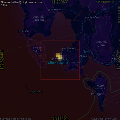
» NASA, Earths city lights 1995
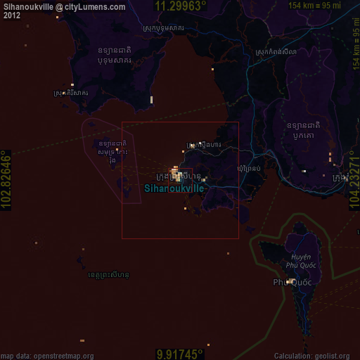
» NASA city lights 2003
» Earth at Night: Flat Maps 2012, 2016