Toktogul night lights from space
Night Light of Toktogul (Jalal-Abad) from space (Kyrgyzstan) Src. Average luminocity for 10x10km area is 9.0159% and for 50x50km: 0.4469%.
Analysis of Toktogul night lights 2016
Square area 10x10 km:
 0.48%
0.48%90-99
1.9%80-89
1.43%70-79
0%60-69
1.27%50-59
1.9%40-49
0.63%30-39
1.9%20-29
3.49%10-19
0%0-9
86.98%Square area 50x50 km:
0.02%90-99
0.08%80-89
0.06%70-79
0%60-69
0.05%50-59
0.08%40-49
0.08%30-39
0.13%20-29
0.21%10-19
0.03%0-9
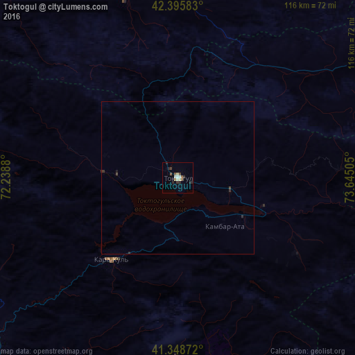
99.27%Clear (daylight) street map image can be seen on geolist.org.
Map coordinates:
42° 23' 45" North, 72° 14' 19.7" East
41° 52' 27.9" North, 72° 56' 30.9" East
41° 20' 55.4" North, 73° 38' 42.2" East
Some cities around Toktogul sort by population:
• Jalal-Abad
104.8 km =65.1 mi,  177°
177°
• Talas
92.3 km =57.4 mi,  321°
321°
• Uchqŭrghon Shahri, UZ
111 km =69 mi,  220°
220°
• Bazar-Korgon
94.5 km =58.7 mi,  189°
189°
• Tash-Kumyr
84.2 km =52.3 mi,  225°
225°
• Merke, KZ
112.5 km =69.9 mi,  10°
10°
• Kochkor-Ata
100.6 km =62.5 mi,  202°
202°
• Kerben
107 km =66.5 mi,  246°
246°
1538648 (p: 19,336)
Sources (retrieved 2019-11-25):
» Earth at Night: Flat Maps 2012, 2016