Jalal-Abad night lights from space
Night Light of Jalal-Abad from space (Kyrgyzstan) Src. Average luminocity for 10x10km area is 46.8129% and for 50x50km: 7.4202%.
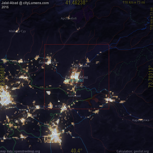

Analysis of Jalal-Abad night lights 2016
Square area 10x10 km:
 7.99%
7.99%90-99
11.05%80-89
3.06%70-79
5.95%60-69
7.48%50-59
7.31%40-49
4.25%30-39
9.01%20-29
15.82%10-19
19.39%0-9
8.67%Square area 50x50 km:
0.67%90-99
1.04%80-89
0.54%70-79
0.8%60-69
1.02%50-59
1.24%40-49
0.84%30-39
1.9%20-29
2.15%10-19
5.45%0-9
84.35%Clear (daylight) street map image can be seen on geolist.org.
Map coordinates:
41° 27' 44.6" North, 72° 17' 48.8" East
40° 55' 60" North, 73° 0' 0" East
40° 24' 0" North, 73° 42' 11.3" East
Some cities around Jalal-Abad sort by population:
• Andijon, UZ
57.7 km =35.9 mi,  253°
253°
• Osh
48.1 km =29.9 mi,  200°
200°
• Uzgen
31.1 km =19.3 mi,  125°
125°
• Bazar-Korgon
24.3 km =15.1 mi,  298°
298°
• Qo‘rg‘ontepa, UZ
30.1 km =18.7 mi,  221°
221°
• Kara Suu
27.8 km =17.3 mi, 203°
• Xo‘jaobod, UZ
47.3 km =29.4 mi,  231°
231°
• Kochkor-Ata
44.9 km =27.9 mi,  284°
284°
1528249 (p: 75,700)
Sources (retrieved 2019-11-25):
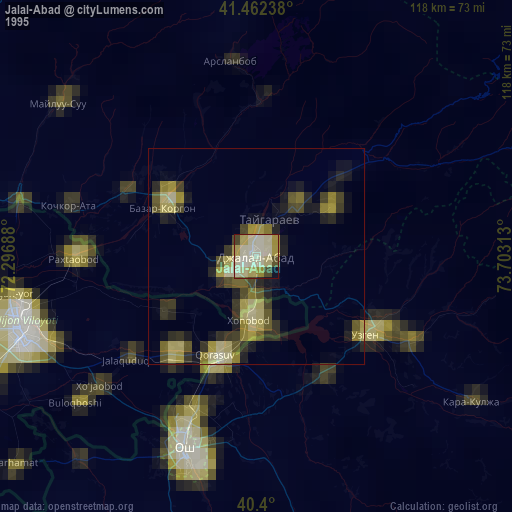
» NASA, Earths city lights 1995
» NASA city lights 2003
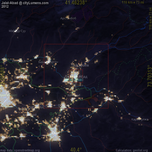
» Earth at Night: Flat Maps 2012, 2016