Tash-Kumyr night lights from space
Night Light of Tash-Kumyr (Jalal-Abad) from space (Kyrgyzstan) Src. Average luminocity for 10x10km area is 3.3793% and for 50x50km: 0.9441%.
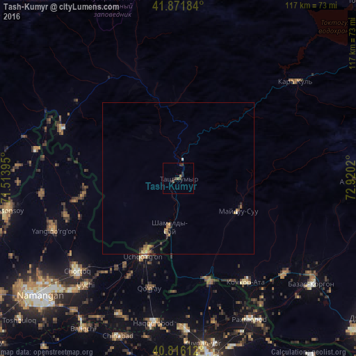
Analysis of Tash-Kumyr night lights 2016
Square area 10x10 km:
 0%
0%90-99
0%80-89
0%70-79
0%60-69
0.68%50-59
1.36%40-49
1.36%30-39
1.87%20-29
1.7%10-19
0.51%0-9
92.52%Square area 50x50 km:
0.02%90-99
0.03%80-89
0.08%70-79
0.2%60-69
0.24%50-59
0.17%40-49
0.16%30-39
0.24%20-29
0.19%10-19
0.23%0-9
98.44%Clear (daylight) street map image can be seen on geolist.org.
Map coordinates:
41° 52' 18.6" North, 71° 30' 50.2" East
41° 20' 46" North, 72° 13' 1.5" East
40° 48' 58" North, 72° 55' 12.7" East
Some cities around Tash-Kumyr sort by population:
• Chortoq, UZ
45.1 km =28 mi,  226°
226°
• Uchqŭrghon Shahri, UZ
28.3 km =17.6 mi,  204°
204°
• Uychi, UZ
38.4 km =23.9 mi,  219°
219°
• Yangiqo‘rg‘on, UZ
44.5 km =27.7 mi,  247°
247°
• Bazar-Korgon
56 km =34.8 mi,  127°
127°
• Haqqulobod, UZ
48.5 km =30.1 mi,  189°
189°
• Kochkor-Ata
40.9 km =25.4 mi,  147°
147°
• Kerben
41.6 km =25.8 mi,  293°
293°
1527260 (p: 23,594)
Sources (retrieved 2019-11-25):
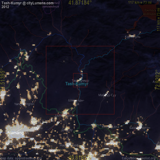
» Earth at Night: Flat Maps 2012, 2016