Karuri night lights from space
Night Light of Karuri (Murang'A) from space (Kenya) Src. Average luminocity for 10x10km area is 7.1688% and for 50x50km: 1.0022%.
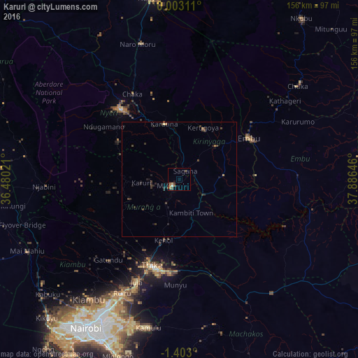
Analysis of Karuri night lights 2016
Square area 10x10 km:
100  0.65%
0.65%
90-99 0.22%
80-89 1.08%
70-79 0.87%
60-69 3.25%
50-59 0.22%
40-49 1.52%
30-39 1.52%
20-29 1.52%
10-19 1.3%
0-9 87.88%
0.65%90-99
0.22%80-89
1.08%70-79
0.87%60-69
3.25%50-59
0.22%40-49
1.52%30-39
1.52%20-29
1.52%10-19
1.3%0-9
87.88%Square area 50x50 km:
100 0.03%
90-99 0.01%
80-89 0.08%
70-79 0.07%
60-69 0.25%
50-59 0.02%
40-49 0.32%
30-39 0.55%
20-29 0.49%
10-19 0.45%
0-9 97.74%
0.03%90-99
0.01%80-89
0.08%70-79
0.07%60-69
0.25%50-59
0.02%40-49
0.32%30-39
0.55%20-29
0.49%10-19
0.45%0-9
97.74%Clear (daylight) street map image can be seen on geolist.org.
Map coordinates:
0° 0' 11.2" North, 36° 28' 48.8" East
0° 42' 0" South, 37° 10' 60" East
1° 24' 10.8" South, 37° 53' 11.3" East
Some cities around Karuri sort by population:
• Thika
39.2 km =24.4 mi,  198°
198°
• Nyeri
40.7 km =25.3 mi,  319°
319°
• Embu
35.3 km =21.9 mi,  59°
59°
• Kiambu
65.1 km =40.5 mi,  216°
216°
• Kerugoya
24.8 km =15.4 mi,  25°
25°
• Murang’a
4.1 km =2.5 mi,  235°
235°
• Chuka
65.6 km =40.8 mi,  51°
51°
• Naro Moru
62.4 km =38.8 mi,  342°
342°
193627 (p: 21,476)
Sources (retrieved 2019-11-25):
» Earth at Night: Flat Maps 2012, 2016