Naivasha night lights from space
Night Light of Naivasha (Nakuru) from space (Kenya) Src. Average luminocity for 10x10km area is 20.0281% and for 50x50km: 2.9759%.
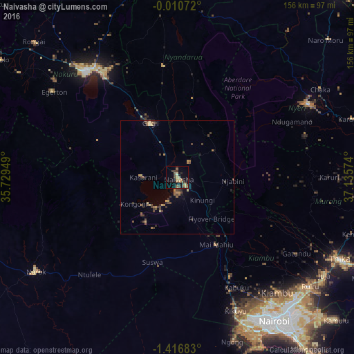
Analysis of Naivasha night lights 2016
Square area 10x10 km:
 0%
0%90-99
0%80-89
4.11%70-79
3.68%60-69
5.19%50-59
2.6%40-49
5.19%30-39
4.98%20-29
0.87%10-19
14.5%0-9
58.87%Square area 50x50 km:
0%90-99
0%80-89
0.54%70-79
0.47%60-69
0.66%50-59
0.34%40-49
1.12%30-39
0.78%20-29
0.28%10-19
1.01%0-9
94.82%Clear (daylight) street map image can be seen on geolist.org.
Map coordinates:
0° 0' 38.6" South, 35° 43' 46.2" East
0° 42' 49.8" South, 36° 25' 57.4" East
1° 25' 0.6" South, 37° 8' 8.7" East
Some cities around Naivasha sort by population:
• Nairobi
76.4 km =47.5 mi,  146°
146°
• Nakuru
60.4 km =37.5 mi,  318°
318°
• Nyeri
65.9 km =40.9 mi,  60°
60°
• Ol Kalou
49.6 km =30.8 mi,  353°
353°
• Narok
74.6 km =46.4 mi,  236°
236°
• Kiambu
67.8 km =42.1 mi,  138°
138°
• Ngong
75.8 km =47.1 mi,  159°
159°
• Limuru
50.2 km =31.2 mi, 152°
184707 (p: 38,366)
Sources (retrieved 2019-11-25):
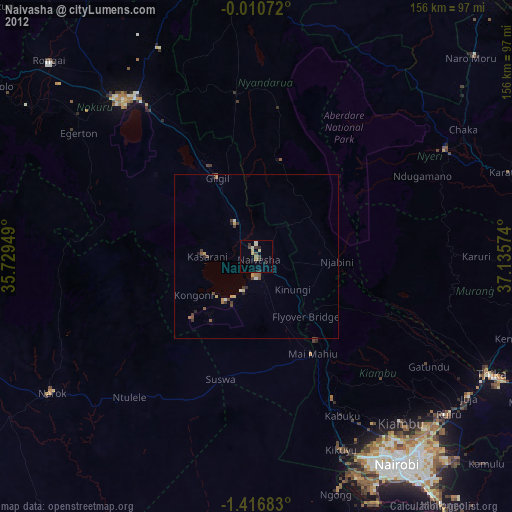
» Earth at Night: Flat Maps 2012, 2016