Nyeri night lights from space
Night Light of Nyeri from space (Kenya) Src. Average luminocity for 10x10km area is 21.6082% and for 50x50km: 1.4527%.
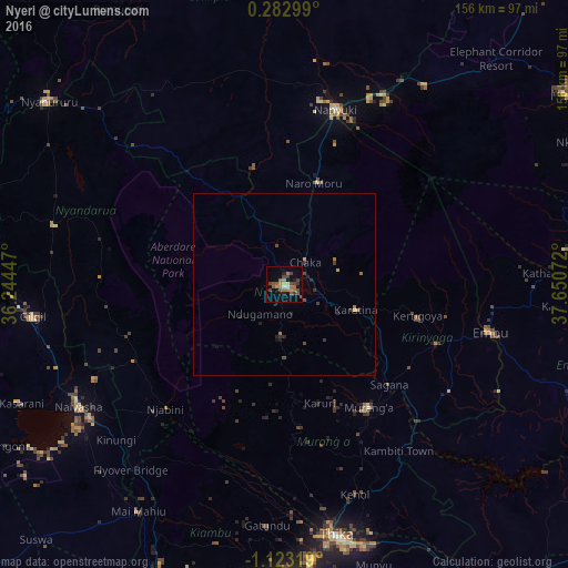
Analysis of Nyeri night lights 2016
Square area 10x10 km:
 0.87%
0.87%90-99
0.87%80-89
1.08%70-79
2.6%60-69
8.01%50-59
5.19%40-49
7.58%30-39
3.25%20-29
1.73%10-19
7.36%0-9
61.47%Square area 50x50 km:
0.03%90-99
0.03%80-89
0.08%70-79
0.17%60-69
0.49%50-59
0.22%40-49
0.46%30-39
0.36%20-29
0.25%10-19
0.53%0-9
97.37%Clear (daylight) street map image can be seen on geolist.org.
Map coordinates:
0° 16' 58.8" North, 36° 14' 40.1" East
0° 25' 12.5" South, 36° 56' 51.3" East
1° 7' 23.5" South, 37° 39' 2.6" East
Some cities around Nyeri sort by population:
• Ol Kalou
65.3 km =40.6 mi,  284°
284°
• Naivasha
65.9 km =40.9 mi,  240°
240°
• Nanyuki
49.4 km =30.7 mi,  16°
16°
• Embu
58.2 km =36.2 mi,  103°
103°
• Karuri
40.7 km =25.3 mi,  139°
139°
• Kerugoya
38 km =23.6 mi, 103°
• Murang’a
40.5 km =25.2 mi,  145°
145°
• Naro Moru
29.6 km =18.4 mi, 15°
182701 (p: 51,084)
Sources (retrieved 2019-11-25):
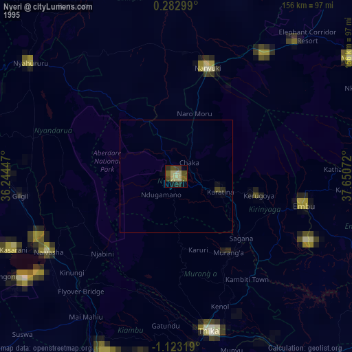
» NASA, Earths city lights 1995
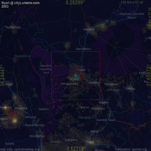
» NASA city lights 2003
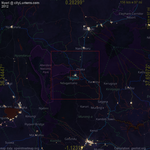
» Earth at Night: Flat Maps 2012, 2016