Kisumu night lights from space
Night Light of Kisumu from space (Kenya) Src. Average luminocity for 10x10km area is 44.4567% and for 50x50km: 2.9037%.

Analysis of Kisumu night lights 2016
Square area 10x10 km:
 6.49%
6.49%90-99
7.36%80-89
6.93%70-79
8.87%60-69
6.71%50-59
4.33%40-49
6.28%30-39
5.41%20-29
10.61%10-19
29.87%0-9
7.14%Square area 50x50 km:
0.26%90-99
0.29%80-89
0.42%70-79
0.49%60-69
0.35%50-59
0.28%40-49
0.48%30-39
0.65%20-29
0.73%10-19
2.49%0-9
93.56%Clear (daylight) street map image can be seen on geolist.org.
Map coordinates:
0° 36' 3.2" North, 34° 3' 30.9" East
0° 6' 8" South, 34° 45' 42.2" East
0° 48' 19.1" South, 35° 27' 53.4" East
Some cities around Kisumu sort by population:
• Kakamega
43 km =26.7 mi,  358°
358°
• Muhoroni
48.7 km =30.3 mi,  97°
97°
• Butere
45.8 km =28.5 mi,  318°
318°
• Oyugis
45.4 km =28.2 mi,  184°
184°
• Nyamira
54.8 km =34.1 mi,  159°
159°
• Ahero
19.2 km =11.9 mi,  114°
114°
• Kapsabet
51.1 km =31.8 mi,  48°
48°
• Mbale
21 km =13 mi,  347°
347°
191245 (p: 216,479)
Sources (retrieved 2019-11-25):
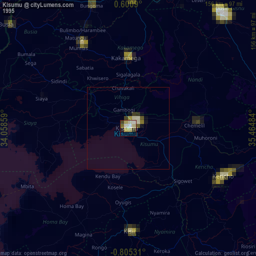
» NASA, Earths city lights 1995
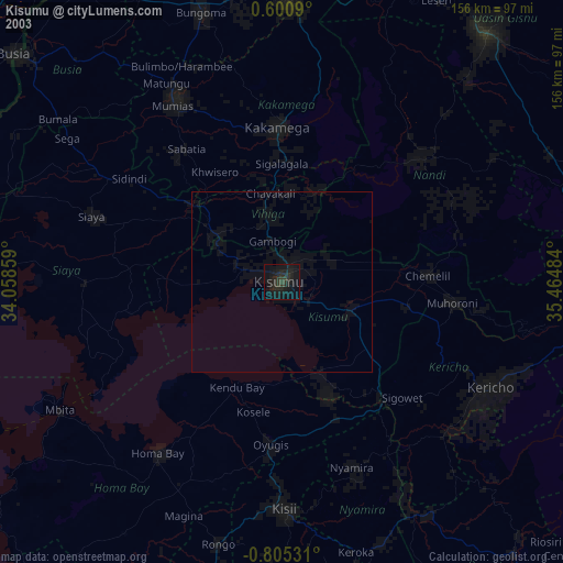
» NASA city lights 2003
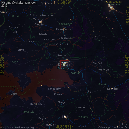
» Earth at Night: Flat Maps 2012, 2016