Mbale night lights from space
Night Light of Mbale (Vihiga) from space (Kenya) Src. Average luminocity for 10x10km area is 0.8593% and for 50x50km: 3.0558%.
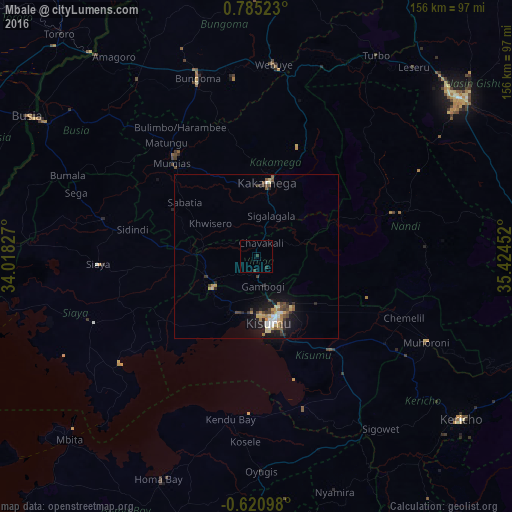
Analysis of Mbale night lights 2016
Square area 10x10 km:
100  0%
0%
90-99 0%
80-89 0%
70-79 0%
60-69 0%
50-59 0%
40-49 0%
30-39 1.73%
20-29 0.87%
10-19 0%
0-9 97.4%
0%90-99
0%80-89
0%70-79
0%60-69
0%50-59
0%40-49
0%30-39
1.73%20-29
0.87%10-19
0%0-9
97.4%Square area 50x50 km:
100 0.28%
90-99 0.34%
80-89 0.46%
70-79 0.46%
60-69 0.35%
50-59 0.41%
40-49 0.55%
30-39 0.62%
20-29 0.84%
10-19 2.39%
0-9 93.32%
0.28%90-99
0.34%80-89
0.46%70-79
0.46%60-69
0.35%50-59
0.41%40-49
0.55%30-39
0.62%20-29
0.84%10-19
2.39%0-9
93.32%Clear (daylight) street map image can be seen on geolist.org.
Map coordinates:
0° 47' 6.8" North, 34° 1' 5.8" East
0° 4' 55.7" North, 34° 43' 17" East
0° 37' 15.5" South, 35° 25' 28.3" East
Some cities around Mbale sort by population:
• Kisumu
21 km =13 mi,  167°
167°
• Kakamega
22.7 km =14.1 mi,  8°
8°
• Mumias
38.2 km =23.7 mi,  317°
317°
• Siaya
48.2 km =30 mi,  267°
267°
• Butere
29.2 km =18.1 mi,  298°
298°
• Ahero
35.9 km =22.3 mi,  142°
142°
• Bondo
51.9 km =32.2 mi,  289°
289°
• Kapsabet
44.7 km =27.8 mi,  72°
72°
187113 (p: 0)
Sources (retrieved 2019-11-25):
» Earth at Night: Flat Maps 2012, 2016