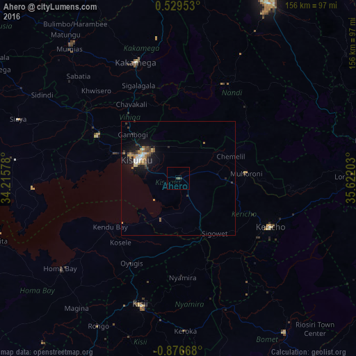
Ahero night lights from space
Night Light of Ahero (Kisumu) from space (Kenya) Src. Average luminocity for 10x10km area is 1.1602% and for 50x50km: 2.7793%.
Analysis of Ahero night lights 2016
Square area 10x10 km:
100  0%
0%
90-99 0%
80-89 0%
70-79 0%
60-69 0%
50-59 0.65%
40-49 1.08%
30-39 0.65%
20-29 0.22%
10-19 0%
0-9 97.4%
0%90-99
0%80-89
0%70-79
0%60-69
0%50-59
0.65%40-49
1.08%30-39
0.65%20-29
0.22%10-19
0%0-9
97.4%Square area 50x50 km:
100 0.26%
90-99 0.29%
80-89 0.35%
70-79 0.46%
60-69 0.38%
50-59 0.35%
40-49 0.44%
30-39 0.55%
20-29 0.65%
10-19 2.49%
0-9 93.79%
0.26%90-99
0.29%80-89
0.35%70-79
0.46%60-69
0.38%50-59
0.35%40-49
0.44%30-39
0.55%20-29
0.65%10-19
2.49%0-9
93.79%Clear (daylight) street map image can be seen on geolist.org.
Map coordinates:
0° 31' 46.3" North, 34° 12' 56.8" East
0° 10' 24.9" South, 34° 55' 8" East
0° 52' 36" South, 35° 37' 19.3" East
Some cities around Ahero sort by population:
• Kisumu
19.2 km =11.9 mi,  294°
294°
• Kakamega
54.2 km =33.7 mi,  340°
340°
• Kericho
45.9 km =28.5 mi,  118°
118°
• Muhoroni
30.9 km =19.2 mi,  86°
86°
• Oyugis
42.8 km =26.6 mi,  209°
209°
• Nyamira
43.4 km =27 mi,  177°
177°
• Kapsabet
46.8 km =29.1 mi,  26°
26°
• Mbale
35.9 km =22.3 mi,  322°
322°
201229 (p: 8,788)
Sources (retrieved 2019-11-25):
» Earth at Night: Flat Maps 2012, 2016