Iten night lights from space
Night Light of Iten (Elegeyo-Marakwet) from space (Kenya) Src. Average luminocity for 10x10km area is 1.2597% and for 50x50km: 0.8804%.
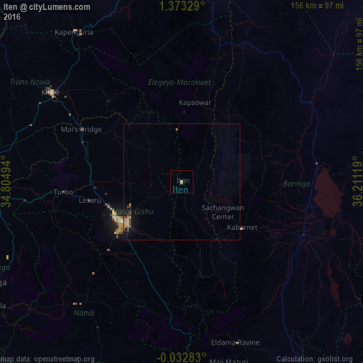
Analysis of Iten night lights 2016
Square area 10x10 km:
 0%
0%90-99
0%80-89
0%70-79
0%60-69
1.73%50-59
0%40-49
0%30-39
0%20-29
0%10-19
0%0-9
98.27%Square area 50x50 km:
0%90-99
0.05%80-89
0.18%70-79
0.12%60-69
0.22%50-59
0.05%40-49
0.2%30-39
0.2%20-29
0.07%10-19
0.9%0-9
98.01%Clear (daylight) street map image can be seen on geolist.org.
Map coordinates:
1° 22' 23.8" North, 34° 48' 17.8" East
0° 40' 13" North, 35° 30' 29" East
0° 1' 58.2" South, 36° 12' 40.3" East
Some cities around Iten sort by population:
• Eldoret
31.3 km =19.4 mi,  237°
237°
• Kitale
67.7 km =42.1 mi,  304°
304°
• Kapenguria
77 km =47.8 mi,  325°
325°
• Kabarnet
32.8 km =20.4 mi,  127°
127°
• Eldama Ravine
72.9 km =45.3 mi,  160°
160°
• Kapsowar
34.8 km =21.6 mi,  9°
9°
• Baringo
55.8 km =34.7 mi,  113°
113°
• Kapsabet
68.5 km =42.6 mi,  220°
220°
196185 (p: 42,000)
Sources (retrieved 2019-11-25):
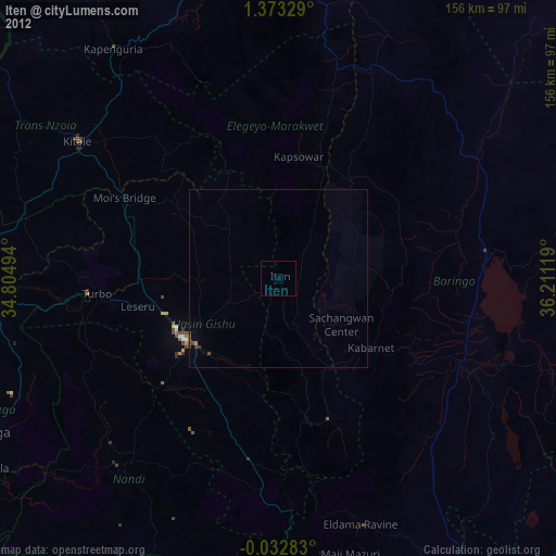
» Earth at Night: Flat Maps 2012, 2016