Nanyuki night lights from space
Night Light of Nanyuki (Laikipia) from space (Kenya) Src. Average luminocity for 10x10km area is 23.4091% and for 50x50km: 2.2256%.
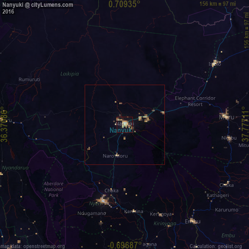
Analysis of Nanyuki night lights 2016
Square area 10x10 km:
 0.43%
0.43%90-99
0.65%80-89
5.84%70-79
6.93%60-69
3.9%50-59
3.03%40-49
4.55%30-39
1.73%20-29
0.22%10-19
15.15%0-9
57.58%Square area 50x50 km:
0.02%90-99
0.03%80-89
0.41%70-79
0.65%60-69
0.25%50-59
0.29%40-49
0.67%30-39
0.31%20-29
0.11%10-19
0.78%0-9
96.49%Clear (daylight) street map image can be seen on geolist.org.
Map coordinates:
0° 42' 33.7" North, 36° 22' 15.1" East
0° 0' 22.5" North, 37° 4' 26.3" East
0° 41' 48.7" South, 37° 46' 37.6" East
Some cities around Nanyuki sort by population:
• Nyeri
49.4 km =30.7 mi,  196°
196°
• Meru
64.9 km =40.3 mi,  86°
86°
• Embu
74.2 km =46.1 mi,  144°
144°
• Isiolo
68.5 km =42.6 mi,  55°
55°
• Kerugoya
60.7 km =37.7 mi,  157°
157°
• Chuka
73.9 km =45.9 mi,  120°
120°
• Naro Moru
19.9 km =12.4 mi, 198°
• Rumuruti
66.5 km =41.3 mi,  296°
296°
184433 (p: 36,142)
Sources (retrieved 2019-11-25):
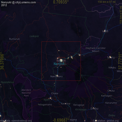
» Earth at Night: Flat Maps 2012, 2016