Webuye night lights from space
Night Light of Webuye (Bungoma) from space (Kenya) Src. Average luminocity for 10x10km area is 3.4307% and for 50x50km: 0.4574%.
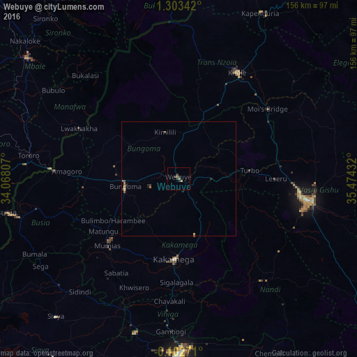
Analysis of Webuye night lights 2016
Square area 10x10 km:
100  0%
0%
90-99 0%
80-89 0%
70-79 0.87%
60-69 0.22%
50-59 1.52%
40-49 1.73%
30-39 0%
20-29 2.6%
10-19 0%
0-9 93.07%
0%90-99
0%80-89
0%70-79
0.87%60-69
0.22%50-59
1.52%40-49
1.73%30-39
0%20-29
2.6%10-19
0%0-9
93.07%Square area 50x50 km:
100 0%
90-99 0%
80-89 0.05%
70-79 0.09%
60-69 0.11%
50-59 0.13%
40-49 0.16%
30-39 0.04%
20-29 0.21%
10-19 0.06%
0-9 99.14%
0%90-99
0%80-89
0.05%70-79
0.09%60-69
0.11%50-59
0.13%40-49
0.16%30-39
0.04%20-29
0.21%10-19
0.06%0-9
99.14%Clear (daylight) street map image can be seen on geolist.org.
Map coordinates:
1° 18' 12.3" North, 34° 4' 5.1" East
0° 36' 1.4" North, 34° 46' 16.3" East
0° 6' 9.8" South, 35° 28' 27.6" East
Some cities around Webuye sort by population:
• Eldoret
56.2 km =34.9 mi,  99°
99°
• Kitale
53.1 km =33 mi,  29°
29°
• Kakamega
35.2 km =21.9 mi,  183°
183°
• Bungoma
23.8 km =14.8 mi,  260°
260°
• Mumias
43.2 km =26.8 mi,  226°
226°
• Lugulu
56.8 km =35.3 mi,  246°
246°
• Butere
53.8 km =33.4 mi,  215°
215°
• Malaba
54.6 km =33.9 mi,  274°
274°
178202 (p: 22,507)
Sources (retrieved 2019-11-25):
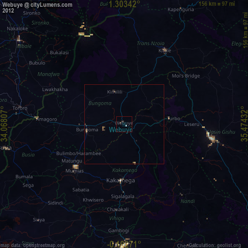
» Earth at Night: Flat Maps 2012, 2016