Ujiie night lights from space
Night Light of Ujiie (Tochigi) from space (Japan) Src. Average luminocity for 10x10km area is 17.9341% and for 50x50km: 15.8792%.
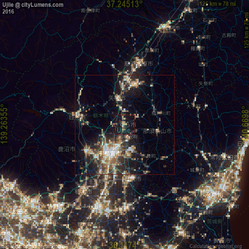
Analysis of Ujiie night lights 2016
Square area 10x10 km:
 0.55%
0.55%90-99
0.18%80-89
2.01%70-79
2.2%60-69
2.2%50-59
2.01%40-49
2.2%30-39
2.75%20-29
6.41%10-19
39.01%0-9
40.48%Square area 50x50 km:
1.22%90-99
2.52%80-89
1.25%70-79
2.04%60-69
2.36%50-59
2.89%40-49
3.11%30-39
3.55%20-29
5.52%10-19
10.78%0-9
64.76%Clear (daylight) street map image can be seen on geolist.org.
Map coordinates:
37° 14' 42.5" North, 139° 15' 48.8" East
36° 40' 60" North, 139° 58' 0" East
36° 7' 2.6" North, 140° 40' 11.3" East
Some cities around Ujiie sort by population:
• Utsunomiya
15 km =9.3 mi,  209°
209°
• Kanuma
25.6 km =15.9 mi,  234°
234°
• Imaichi
25.5 km =15.8 mi,  278°
278°
• Ōtawara
21.2 km =13.2 mi,  16°
16°
• Yaita
13.3 km =8.3 mi,  347°
347°
• Mashiko
26.9 km =16.7 mi,  153°
153°
• Motegi
26.8 km =16.7 mi,  133°
133°
• Karasuyama
16.8 km =10.4 mi,  102°
102°
1849367 (p: 30,366)
Sources (retrieved 2019-11-25):
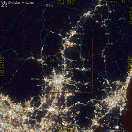
» Earth at Night: Flat Maps 2012, 2016