Ōtawara night lights from space
Night Light of Ōtawara (Tochigi) from space (Japan) Src. Average luminocity for 10x10km area is 30.3052% and for 50x50km: 6.585%.
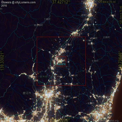
Analysis of Ōtawara night lights 2016
Square area 10x10 km:
 1.62%
1.62%90-99
6.66%80-89
2.6%70-79
5.19%60-69
3.08%50-59
3.41%40-49
3.57%30-39
7.47%20-29
13.64%10-19
25.81%0-9
26.95%Square area 50x50 km:
0.22%90-99
0.8%80-89
0.47%70-79
0.8%60-69
0.82%50-59
1.12%40-49
1.17%30-39
1.11%20-29
2.78%10-19
6.77%0-9
83.94%Clear (daylight) street map image can be seen on geolist.org.
Map coordinates:
37° 25' 37.6" North, 139° 19' 48.8" East
36° 52' 0" North, 140° 1' 60" East
36° 18' 7.5" North, 140° 44' 11.3" East
Some cities around Ōtawara sort by population:
• Utsunomiya
35.9 km =22.3 mi,  201°
201°
• Imaichi
35.3 km =21.9 mi,  241°
241°
• Kuroiso
11.2 km =7 mi,  7°
7°
• Yaita
11.6 km =7.2 mi,  230°
230°
• Ujiie
21.2 km =13.2 mi, 196°
• Daigo
30.3 km =18.8 mi,  111°
111°
• Karasuyama
26.2 km =16.3 mi,  156°
156°
• Nikkō
39.3 km =24.4 mi,  250°
250°
2111325 (p: 58,888)
Sources (retrieved 2019-11-25):
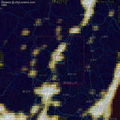
» NASA, Earths city lights 1995
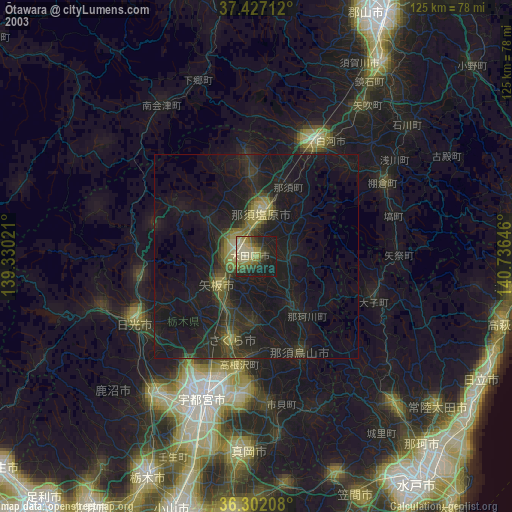
» NASA city lights 2003
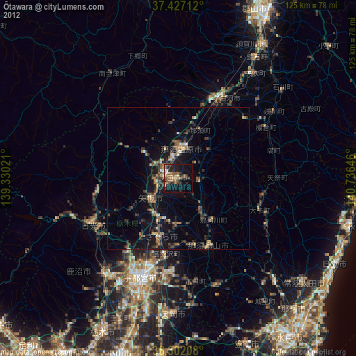
» Earth at Night: Flat Maps 2012, 2016