Motegi night lights from space
Night Light of Motegi (Tochigi) from space (Japan) Src. Average luminocity for 10x10km area is 4.0879% and for 50x50km: 14.3518%.
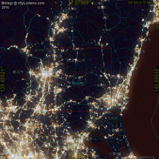
Analysis of Motegi night lights 2016
Square area 10x10 km:
 0%
0%90-99
0%80-89
0%70-79
0%60-69
2.2%50-59
0%40-49
1.28%30-39
2.2%20-29
2.56%10-19
0.73%0-9
91.03%Square area 50x50 km:
0.91%90-99
1.89%80-89
1.06%70-79
1.74%60-69
2.26%50-59
2.63%40-49
2.97%30-39
3.22%20-29
5.72%10-19
11.62%0-9
65.99%Clear (daylight) street map image can be seen on geolist.org.
Map coordinates:
37° 4' 46.9" North, 139° 28' 48.8" East
36° 31' 0" North, 140° 10' 60" East
35° 56' 58.3" North, 140° 53' 11.3" East
Some cities around Motegi sort by population:
• Mooka
17.5 km =10.9 mi,  238°
238°
• Tomobe
21.3 km =13.2 mi,  150°
150°
• Kaminokawa
25.6 km =15.9 mi,  248°
248°
• Kasama
16.6 km =10.3 mi, 153°
• Ōmiya
21.2 km =13.2 mi,  79°
79°
• Mashiko
9.3 km =5.8 mi,  233°
233°
• Iwase
20 km =12.4 mi,  201°
201°
• Karasuyama
15.1 km =9.4 mi,  348°
348°
2111827 (p: 19,575)
Sources (retrieved 2019-11-25):
» Earth at Night: Flat Maps 2012, 2016