Yaita night lights from space
Night Light of Yaita (Tochigi) from space (Japan) Src. Average luminocity for 10x10km area is 19.3042% and for 50x50km: 10.289%.
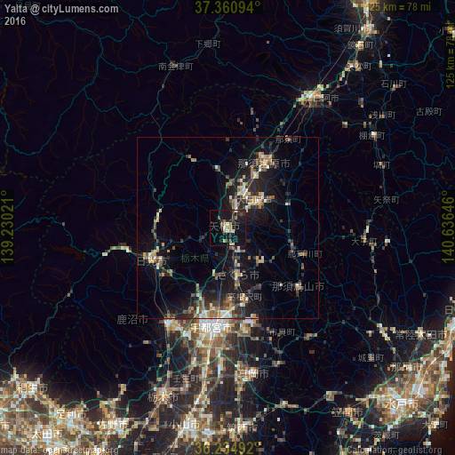
Analysis of Yaita night lights 2016
Square area 10x10 km:
 0.52%
0.52%90-99
2.97%80-89
0.87%70-79
2.97%60-69
2.45%50-59
2.1%40-49
3.5%30-39
2.8%20-29
7.34%10-19
29.72%0-9
44.76%Square area 50x50 km:
0.41%90-99
1.42%80-89
0.74%70-79
1.41%60-69
1.4%50-59
1.74%40-49
1.84%30-39
1.87%20-29
4.25%10-19
9.59%0-9
75.33%Clear (daylight) street map image can be seen on geolist.org.
Map coordinates:
37° 21' 39.4" North, 139° 13' 48.8" East
36° 48' 0" North, 139° 55' 60" East
36° 14' 5.7" North, 140° 38' 11.3" East
Some cities around Yaita sort by population:
• Utsunomiya
26.3 km =16.3 mi,  189°
189°
• Kanuma
33 km =20.5 mi,  212°
212°
• Imaichi
24.1 km =15 mi,  247°
247°
• Kuroiso
21.2 km =13.2 mi,  29°
29°
• Ōtawara
11.6 km =7.2 mi,  50°
50°
• Ujiie
13.3 km =8.3 mi,  167°
167°
• Karasuyama
25.5 km =15.8 mi,  130°
130°
• Nikkō
28.7 km =17.8 mi,  258°
258°
1848776 (p: 36,275)
Sources (retrieved 2019-11-25):
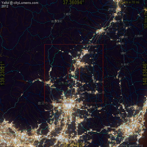
» Earth at Night: Flat Maps 2012, 2016